Related Images


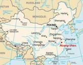
This image was acquired from
wikimedia. It was marked as Public Domain or CC0 and is free to use. To verify, go to the source and check the information there.
Looking for more info about this image?
Try a Google Reverse Image Search for it.
Try a Google Reverse Image Search for it.
Keywords from Image Description:
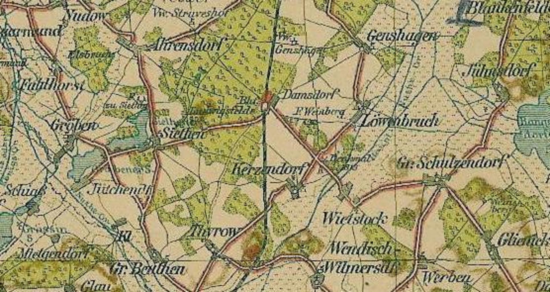
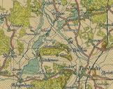
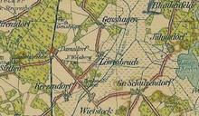
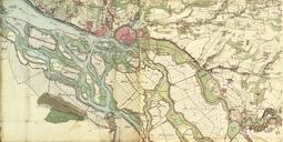
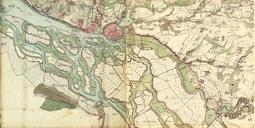
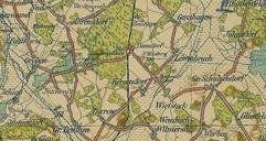
Ludwigsfelde Karte . Ausschnitt einer historischen PharusKarte von Ludwigsfelde und heute eingemeidete Drfer im Brandenburger Landkreis TeltowFlming Auf dieser Karte spielt Ludwigsfelde hervorgegangen aus Damsdorf Ludwigsfelde noch eine untergeordnete Rolle Historical PharusMap from part Ludwigsfelde and todays incorporated villages