This image was acquired from
wikimedia. It was marked as Public Domain or CC0 and is free to use. To verify, go to the source and check the information there.
Looking for more info about this image?
Try a Google Reverse Image Search for it.
Try a Google Reverse Image Search for it.
Keywords from Image Description:
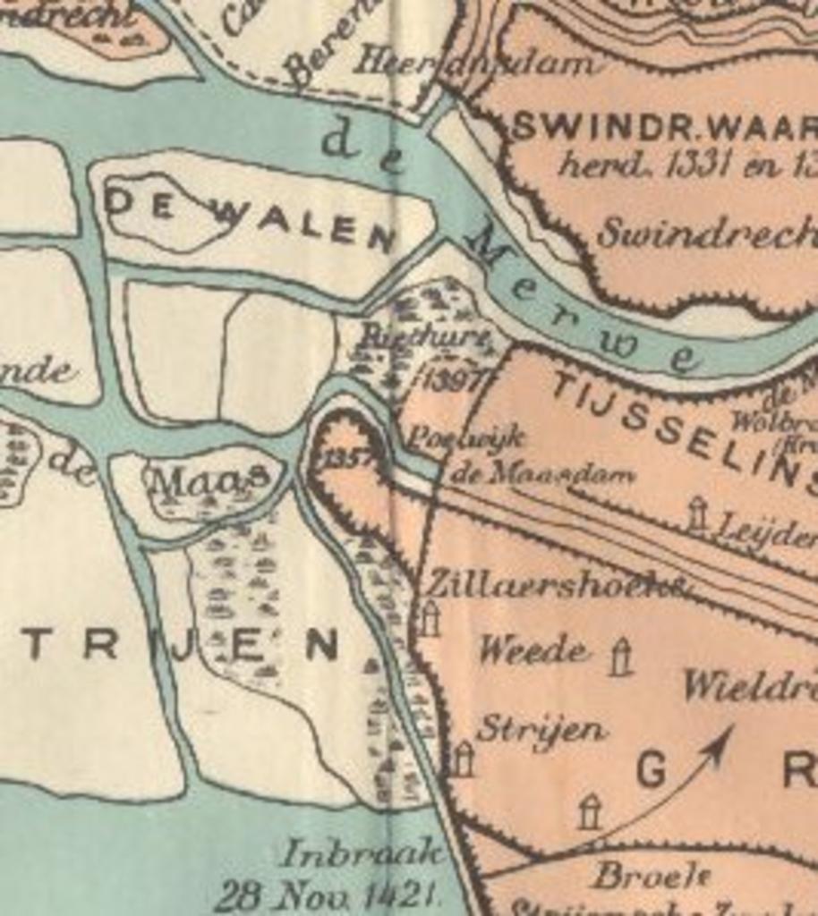
Maasdam and surrounding area in . en Detail of th Century map of de Grote Hollandse Waard depicting the geography just before the second St Elizabeth flood in which submerged most of the land shown Detail from Groote Waard in Schoolatlas der Geheele Aarde th Ed Published by Thieme Cie Zutphen the Netherlands Beekman Schuiling
