
Related Images


Download:
| Tiny | 186x128 | View | Download |
| Small | 373x256 | View | Download |
| Medium | 746x512 | View | Download |
| Original | 850x583 | View | Download |
This image was acquired from
wikimedia. It was marked as Public Domain or CC0 and is free to use. To verify, go to the source and check the information there.
Looking for more info about this image?
Try a Google Reverse Image Search for it.
Try a Google Reverse Image Search for it.
Keywords from Image Description:
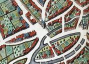
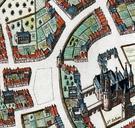
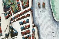
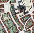
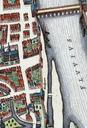
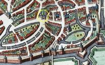
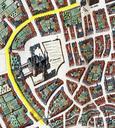
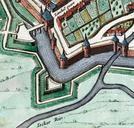
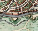
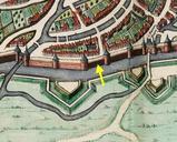
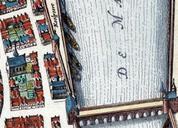
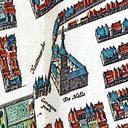
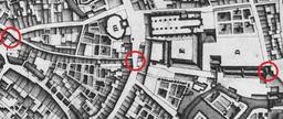
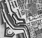
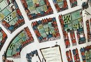
Maastricht omgeving Grote Gracht detail kaart Atlas Maior. en Maastricht the Netherlands Detail of map of Maastricht from the Atlas Maior published by Blaeu Amsterdam showing the first Medieval city wall along Grote Gracht between Tweebergenpoort bottom left and Grote Poort top right Atlas van Loon creator Joan Blaeu other versions