Related Images


Download:
| Tiny | 105x128 | View | Download |
| Small | 210x256 | View | Download |
| Medium | 421x512 | View | Download |
| Original svg | 726x881 | View | Download |
| Original as jpg | 726x881 | View | Download |
This image was acquired from
wikimedia. It was marked as Public Domain or CC0 and is free to use. To verify, go to the source and check the information there.
Looking for more info about this image?
Try a Google Reverse Image Search for it.
Try a Google Reverse Image Search for it.
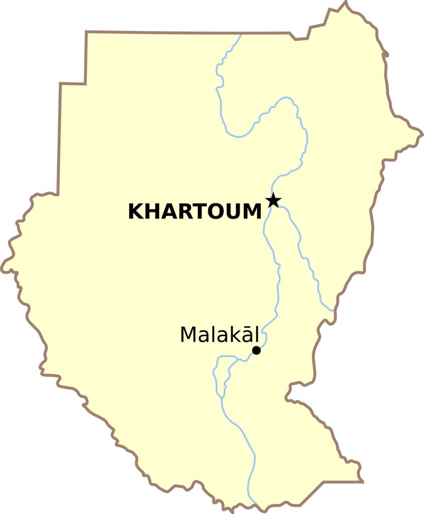
Keywords from Image Description:
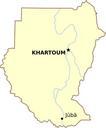
Malakal locator map.svg Locator map for Malakl in the Greater Upper Nile region of northeastern South Sudan Map showing former Southern Sudan without post South Sudan political boundaries Created in Inkscape by tracing CIA World Factbook map Brian Kell Bkell Public domain Malakal Locator maps of cities and villages in South Sudan