Related Images
Download:
| Tiny | 185x128 | View | Download |
| Small | 371x256 | View | Download |
| Medium | 742x512 | View | Download |
| Large | 1485x1024 | View | Download |
| Original | 1728x1191 | View | Download |
This image was acquired from
wikimedia. It was marked as Public Domain or CC0 and is free to use. To verify, go to the source and check the information there.
Looking for more info about this image?
Try a Google Reverse Image Search for it.
Try a Google Reverse Image Search for it.
Keywords from Image Description:
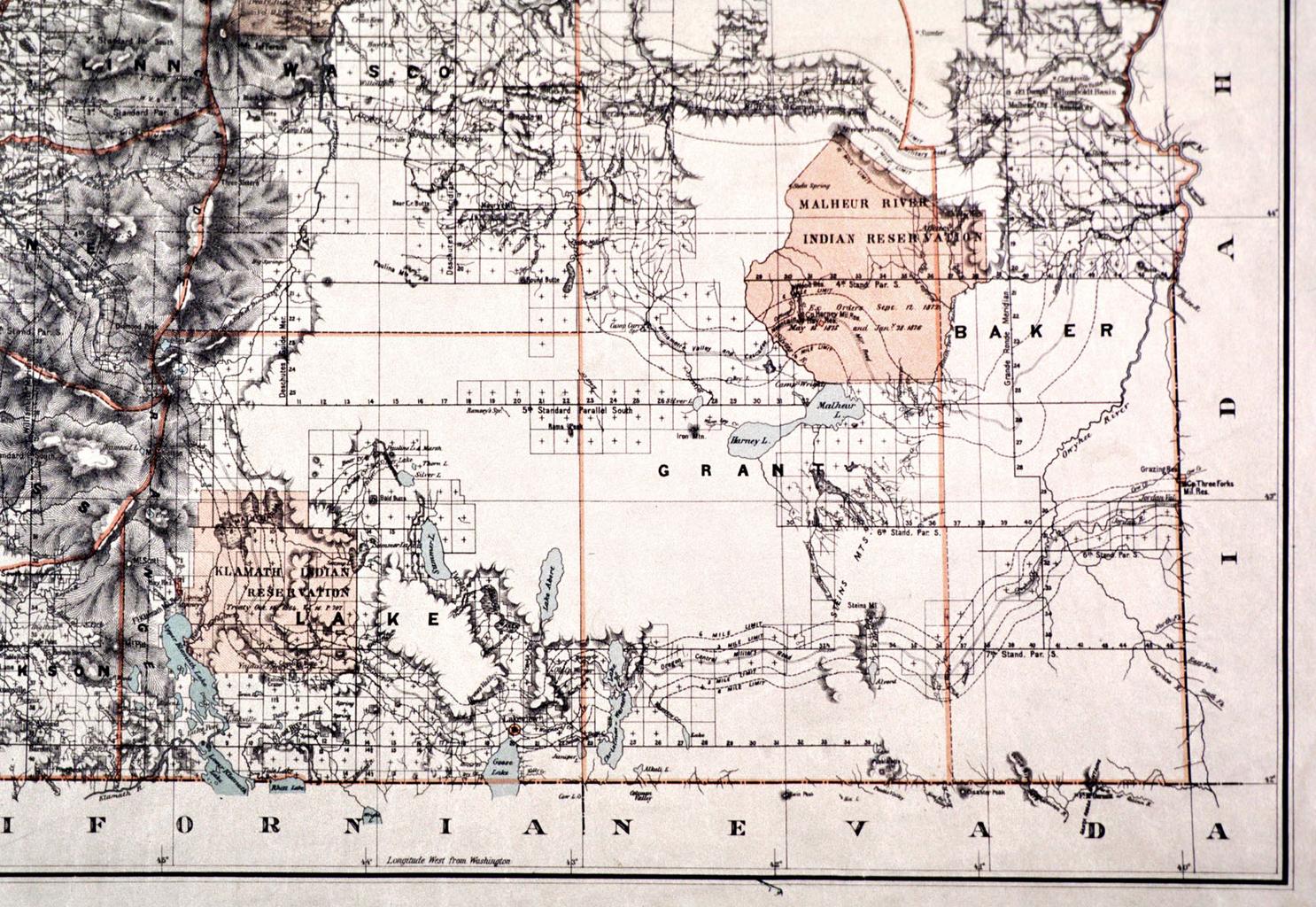
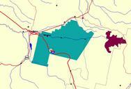
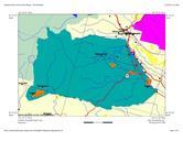
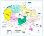
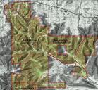
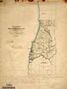
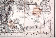
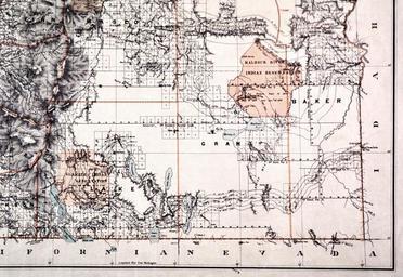
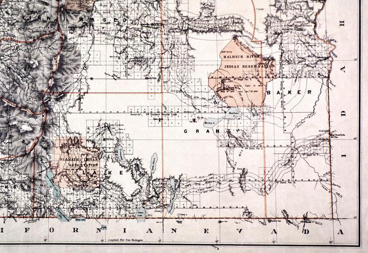
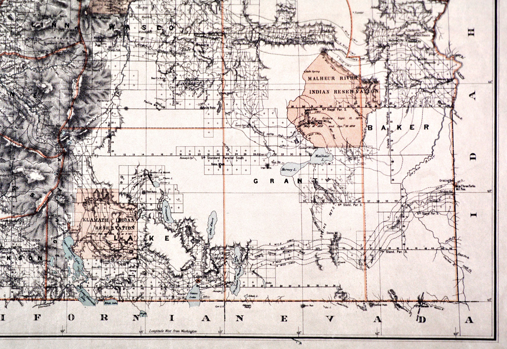
Malheur Reservation map. en Map of the Malheur Reservation in eastern Oregon an Indian reservation used for seven years in the until its inhabitants were moved elsewhere ohs org cfm docID BEEAAE Roesser General Land Office Department of the Interior maps Indian reservations in the United States Maps of Oregon PDUSGov PDUS