Related Images

Download:
| Tiny | 95x128 | View | Download |
| Small | 191x256 | View | Download |
| Medium | 383x512 | View | Download |
| Large | 767x1024 | View | Download |
| Original tiff | 5293x7058 | View | Download |
| Original as jpg | 5293x7058 | View | Download |
This image was acquired from
wikimedia. It was marked as Public Domain or CC0 and is free to use. To verify, go to the source and check the information there.
Looking for more info about this image?
Try a Google Reverse Image Search for it.
Try a Google Reverse Image Search for it.
Keywords from Image Description:
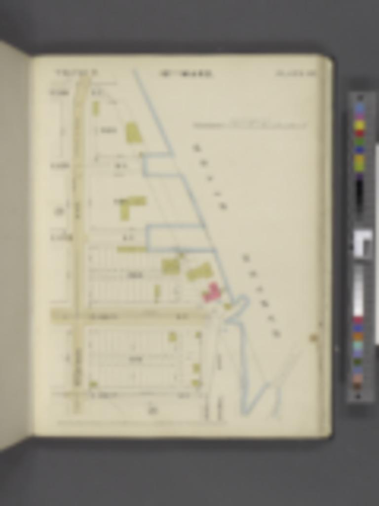
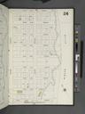
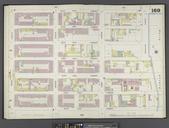
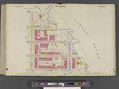
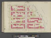
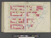
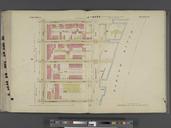
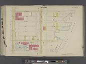
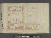
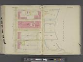
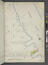
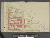
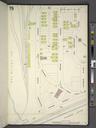
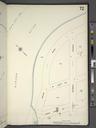
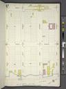
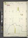
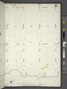
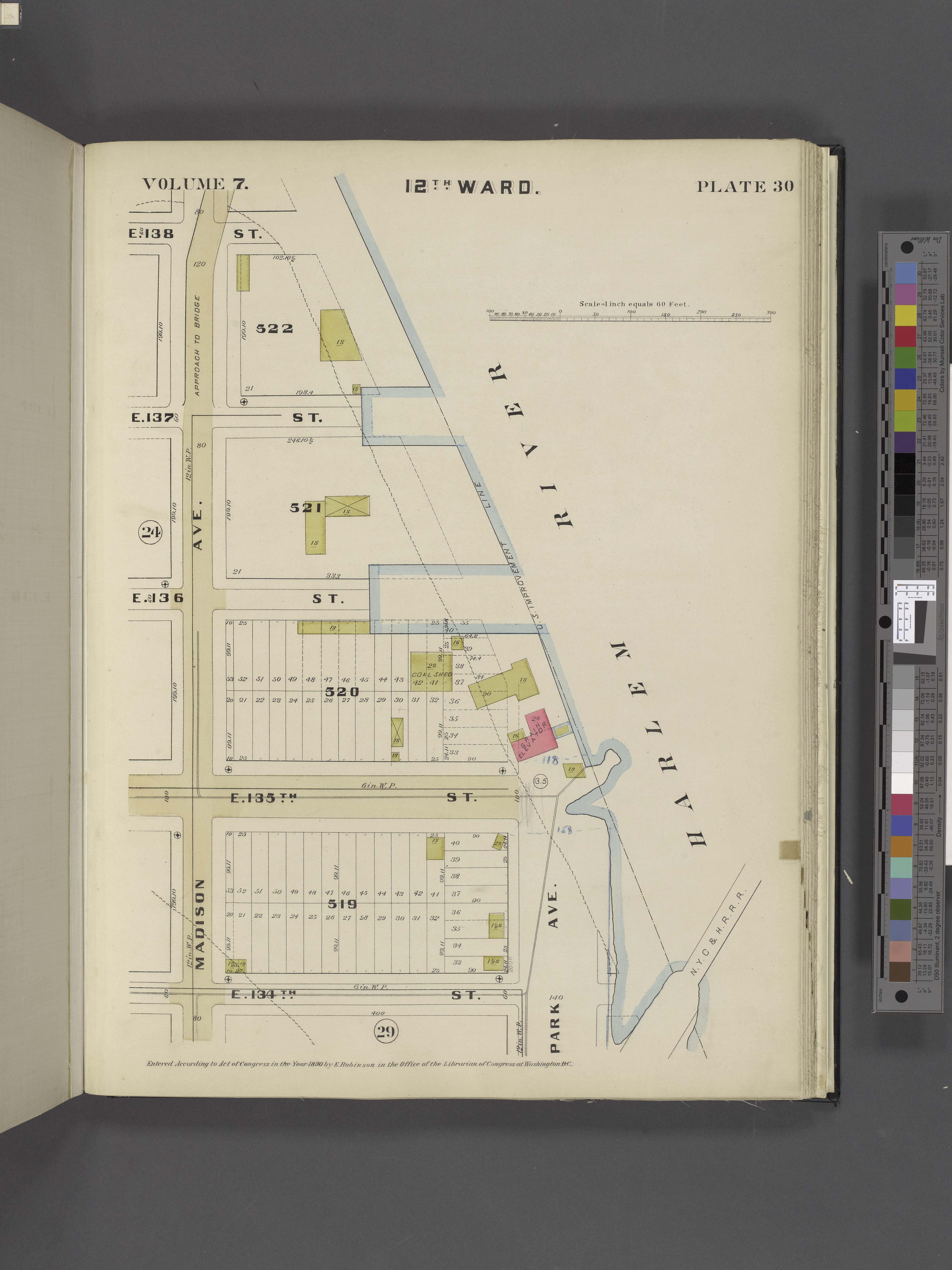
Manhattan V. Plate No. Map bounded by E. th St. Harlem River E. th St. Madison Ave. NYPL. Manhattan Plate No Map bounded by th St Harlem River th St Madison Ave Atlases of New York city Robinson's real estate atlas of the City of New York embracing Manhattan Island in nine volumes compiled from official records and actual surveys