
Related Images

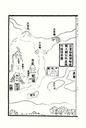
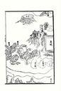
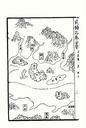
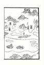
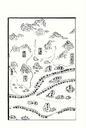
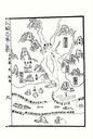
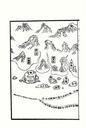
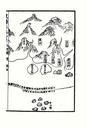
Download:
| Tiny | 156x128 | View | Download |
| Small | 313x256 | View | Download |
| Medium | 626x512 | View | Download |
| Original png | 653x534 | View | Download |
| Original as jpg | 653x534 | View | Download |
This image was acquired from
wikimedia. It was marked as Public Domain or CC0 and is free to use. To verify, go to the source and check the information there.
Looking for more info about this image?
Try a Google Reverse Image Search for it.
Try a Google Reverse Image Search for it.
Keywords from Image Description:
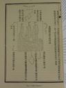
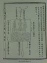
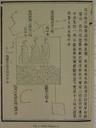
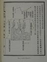
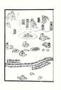
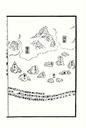
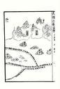
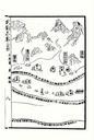
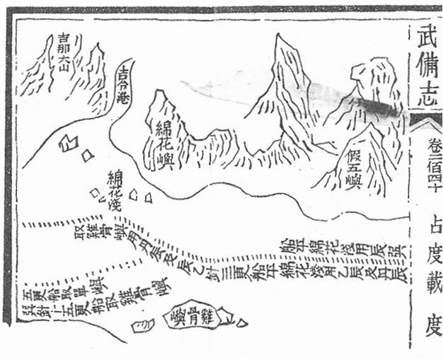
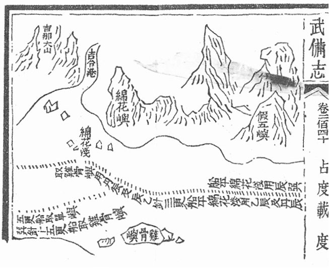
Mao Kun map Klang. en Mao Kun map showing Klang river estuary also marked on the map are Bukit Jugra in Selangor and Cape Rachado Tanjung Tuan in Malacca and Aroa Islands Pulaupulau Aruah off Sumatra century Scanned from The Golden Khersonese by Paul Wheatley originally from Wubei Zhi th century work with maps based on Zheng