Related Images
Download:
| Tiny | 297x128 | View | Download |
| Small | 594x256 | View | Download |
| Medium | 1189x512 | View | Download |
| Original png | 1289x555 | View | Download |
| Original as jpg | 1289x555 | View | Download |
This image was acquired from
wikimedia. It was marked as Public Domain or CC0 and is free to use. To verify, go to the source and check the information there.
Looking for more info about this image?
Try a Google Reverse Image Search for it.
Try a Google Reverse Image Search for it.
Keywords from Image Description:
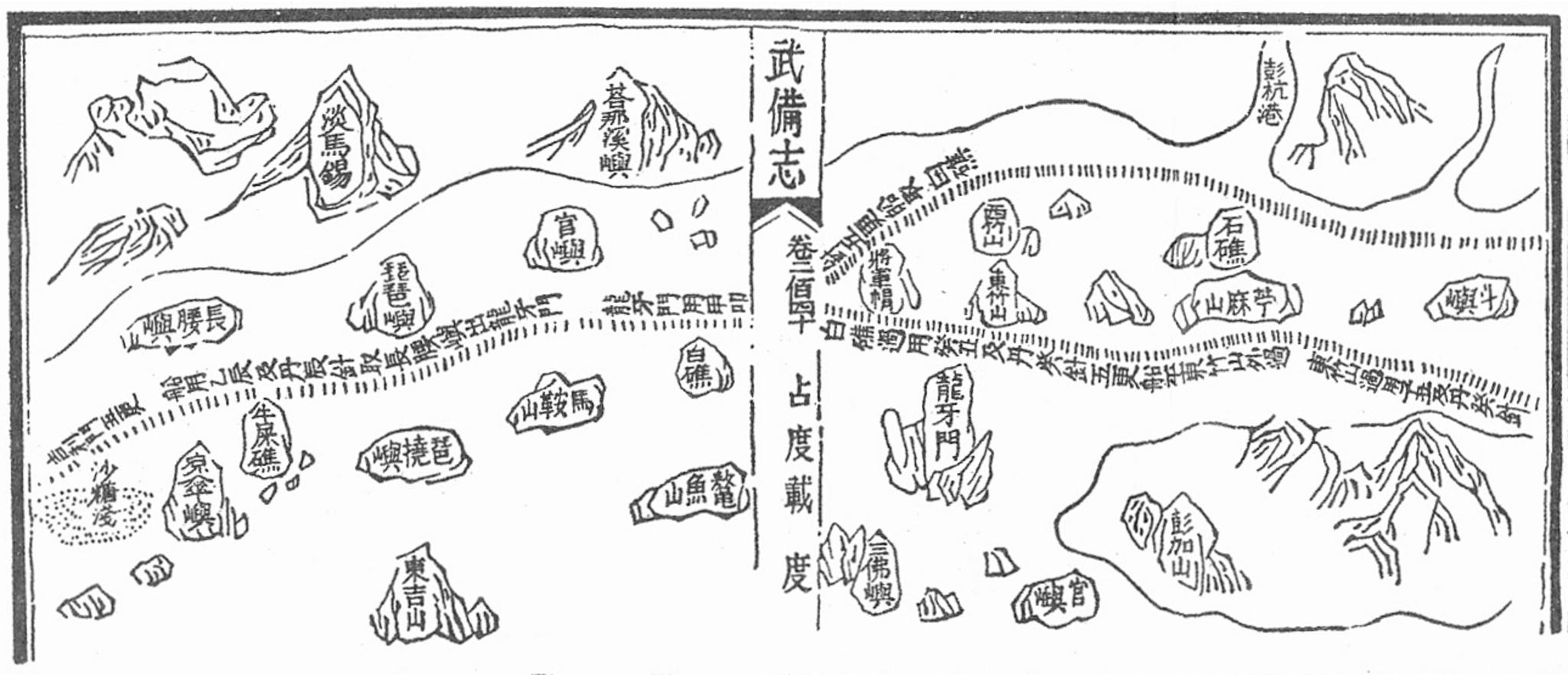
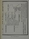
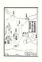
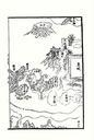
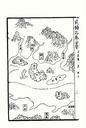
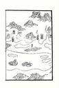
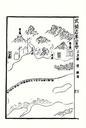
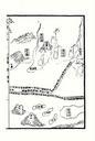
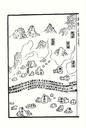
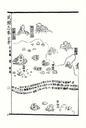
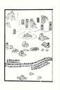
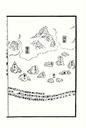
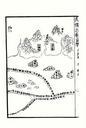
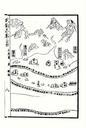
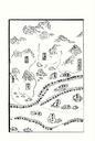
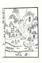
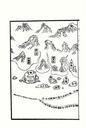
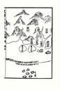
Mao Kun map Singapore. Mao Kun map showing Singapore and part of the east coast of Malaysia Temasek early Singapore zh is marked at the top left corner others identified by Wheatley are Pulau Brani Blakang Mati Sentosa Pedra Branca Singapore Pedra Branca Pulau Tinggi Pulau Aur and Pahang River estuary and Pulau Tioman