
Related Images


This image was acquired from
wikimedia. It was marked as Public Domain or CC0 and is free to use. To verify, go to the source and check the information there.
Looking for more info about this image?
Try a Google Reverse Image Search for it.
Try a Google Reverse Image Search for it.
Keywords from Image Description:
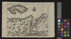
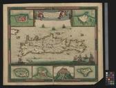
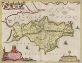
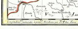
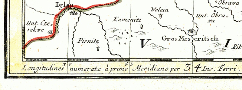
Map of . Longitudines numeratae Primo Meridiano per Insula Ferri. Detail of the map of Silesia drawn in Larger towns Iglau moravian town Jihlava Gros Meseritsch moravian town Velk Mezi On the lowest edge of the map Latin message Longitudines numerat primo Meridiano per Insula Ferri meaning the prime meridian for this map is El