
Related Images


Download:
| Tiny | 202x128 | View | Download |
| Small | 404x256 | View | Download |
| Original svg | 600x380 | View | Download |
| Original as jpg | 600x380 | View | Download |
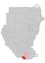
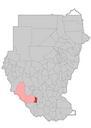
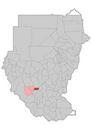
This image was acquired from
wikimedia. It was marked as Public Domain or CC0 and is free to use. To verify, go to the source and check the information there.
Looking for more info about this image?
Try a Google Reverse Image Search for it.
Try a Google Reverse Image Search for it.
Keywords from Image Description:
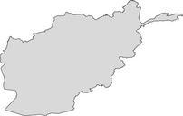
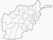
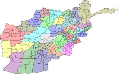
Map of Afghanistan Districts and Provinces.svg map of the districts of Afghanistan The districts are colour grouped by province Map originally from maplibrary org php Maplibrary org who in turn have extracted it from berkeley edu GADM version which berkeley edu html source the data for Afghanistan as comming from the USGS


