
Related Images


Download:
| Tiny | 186x128 | View | Download |
| Small | 373x256 | View | Download |
| Medium | 746x512 | View | Download |
| Large | 1493x1024 | View | Download |
| Original | 2532x1736 | View | Download |
This image was acquired from
wikimedia. It was marked as Public Domain or CC0 and is free to use. To verify, go to the source and check the information there.
Looking for more info about this image?
Try a Google Reverse Image Search for it.
Try a Google Reverse Image Search for it.
Keywords from Image Description:
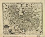
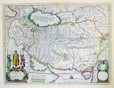
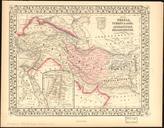
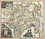
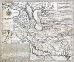
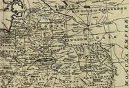
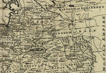
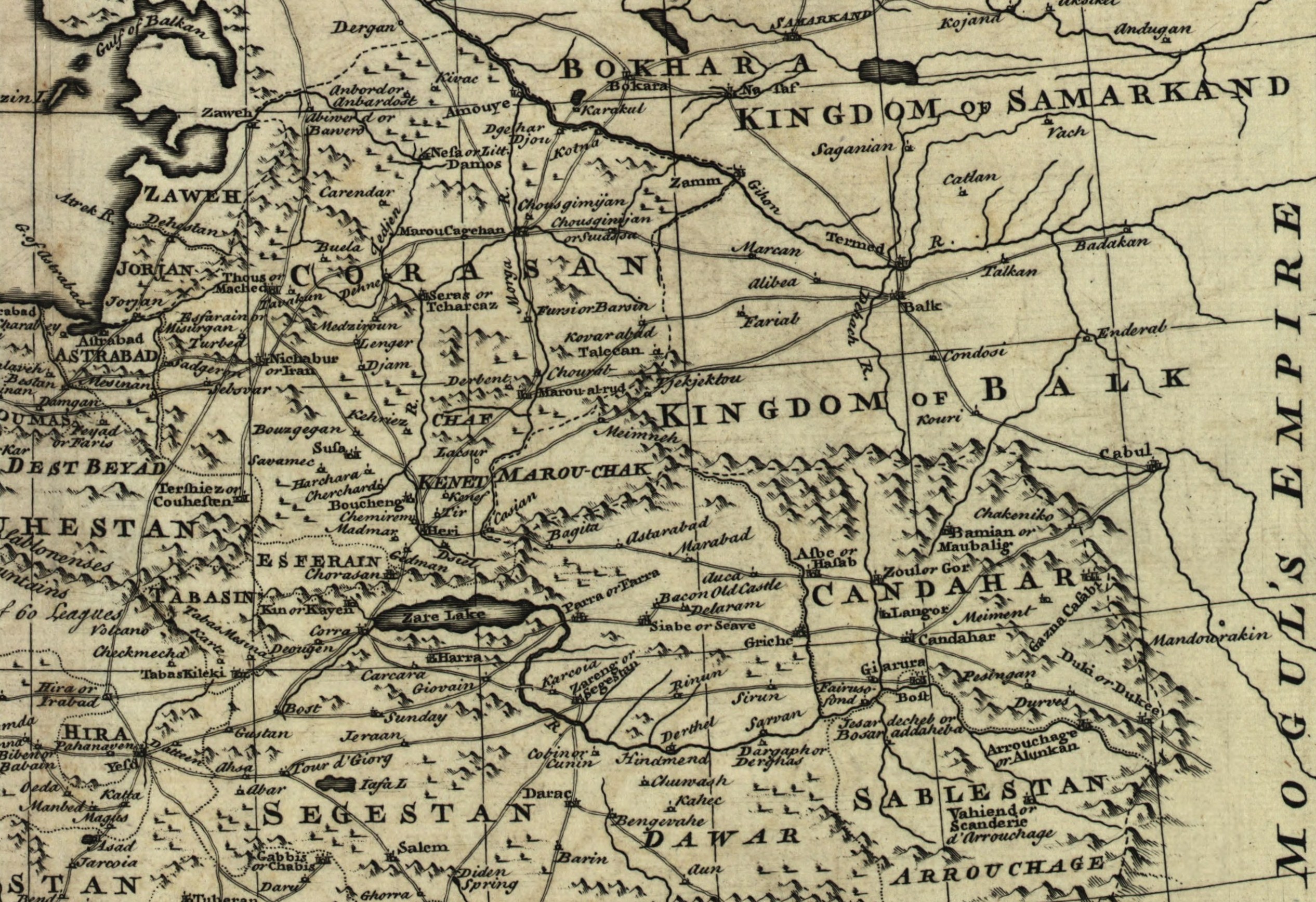
Map of Afghanistan during the Safavid and Moghul Empire. Map of Afghanistan during the Safavid and Mughal Empire from the th century to when the current nationstate was created Extracted from Bowen's new accurate map of Persia with the adjacent countries From Bowen's complete system of geography London Printed for Innys Ware etc