Related Images
Download:
| Tiny | 97x128 | View | Download |
| Small | 195x256 | View | Download |
| Medium | 390x512 | View | Download |
| Large | 780x1024 | View | Download |
| Original | 5207x6832 | View | Download |
This image was acquired from
wikimedia. It was marked as Public Domain or CC0 and is free to use. To verify, go to the source and check the information there.
Looking for more info about this image?
Try a Google Reverse Image Search for it.
Try a Google Reverse Image Search for it.
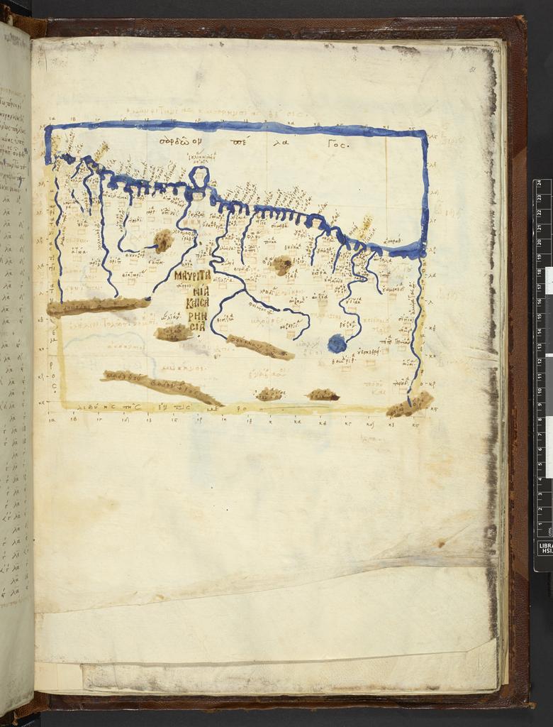
Keywords from Image Description:
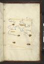
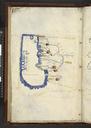
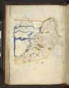
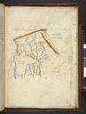
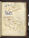
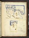
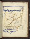
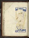
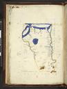
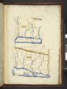
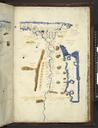
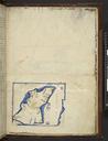
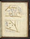
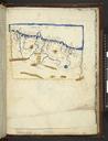
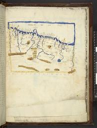
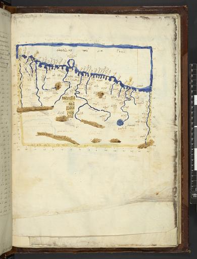
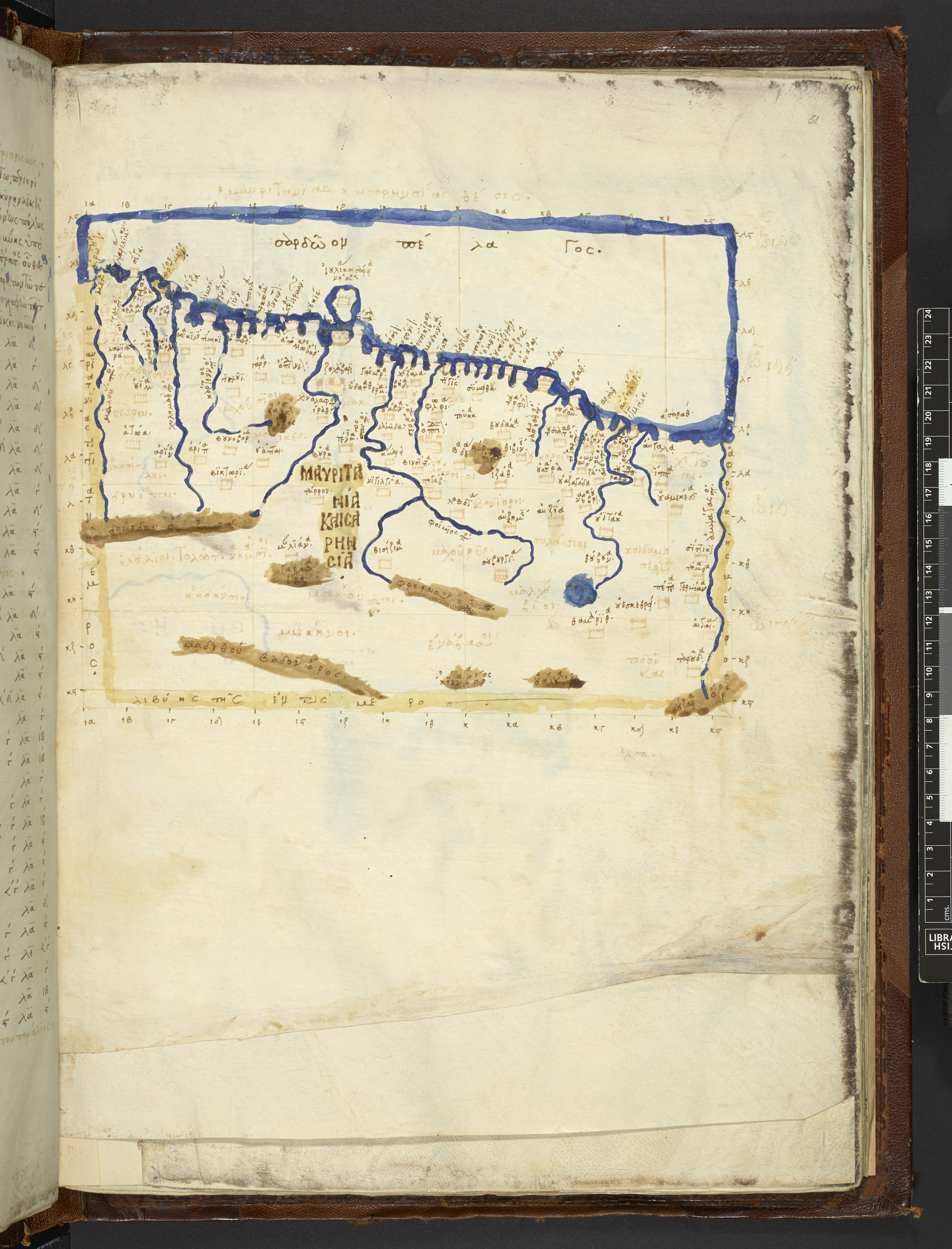
Map after Ptolemy's Geographia Burney MS f.r.jpeg Mauritania Csariensis The eastern half of the First African Map from Greek manuscript edition of Ptolemy's Geography depicting Mauretania Caesariensis Institution British Library map date other fields Information field British Library Shelfmark Burney MS other versions File