
Related Images


Download:
| Tiny | 165x128 | View | Download |
| Small | 331x256 | View | Download |
| Medium | 662x512 | View | Download |
| Large | 1325x1024 | View | Download |
| Original png | 2112x1632 | View | Download |
| Original as jpg | 2112x1632 | View | Download |
This image was acquired from
wikimedia. It was marked as Public Domain or CC0 and is free to use. To verify, go to the source and check the information there.
Looking for more info about this image?
Try a Google Reverse Image Search for it.
Try a Google Reverse Image Search for it.
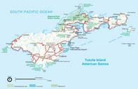
Keywords from Image Description:
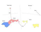
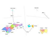
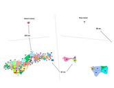
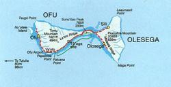
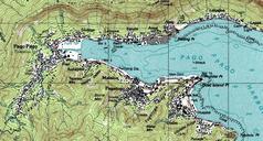
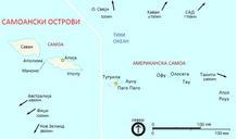
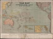
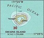
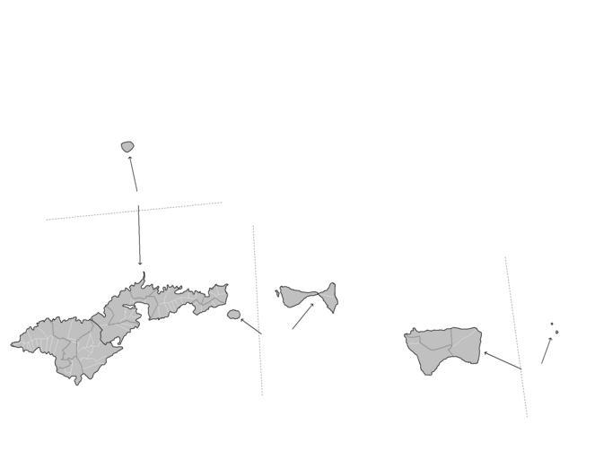
Map of American Samoa admin. Map of the administrative divisions of American Samoa Map is to scale with distances between the various islands displayed Created by Rarelibra January UTC for public domain use using MapInfo Professional and various mapping resources own assumed Rarelibra Maps of American Samoa