Related Images


Download:
| Tiny | 180x128 | View | Download |
| Small | 360x256 | View | Download |
| Medium | 721x512 | View | Download |
| Large | 1443x1024 | View | Download |
| Original | 5294x3756 | View | Download |
This image was acquired from
wikimedia. It was marked as Public Domain or CC0 and is free to use. To verify, go to the source and check the information there.
Looking for more info about this image?
Try a Google Reverse Image Search for it.
Try a Google Reverse Image Search for it.
Keywords from Image Description:
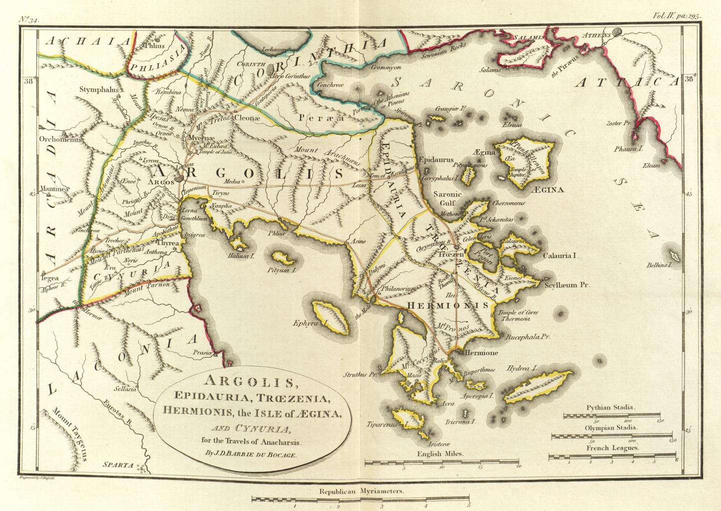
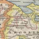
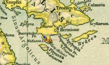
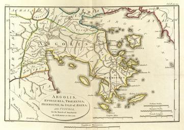
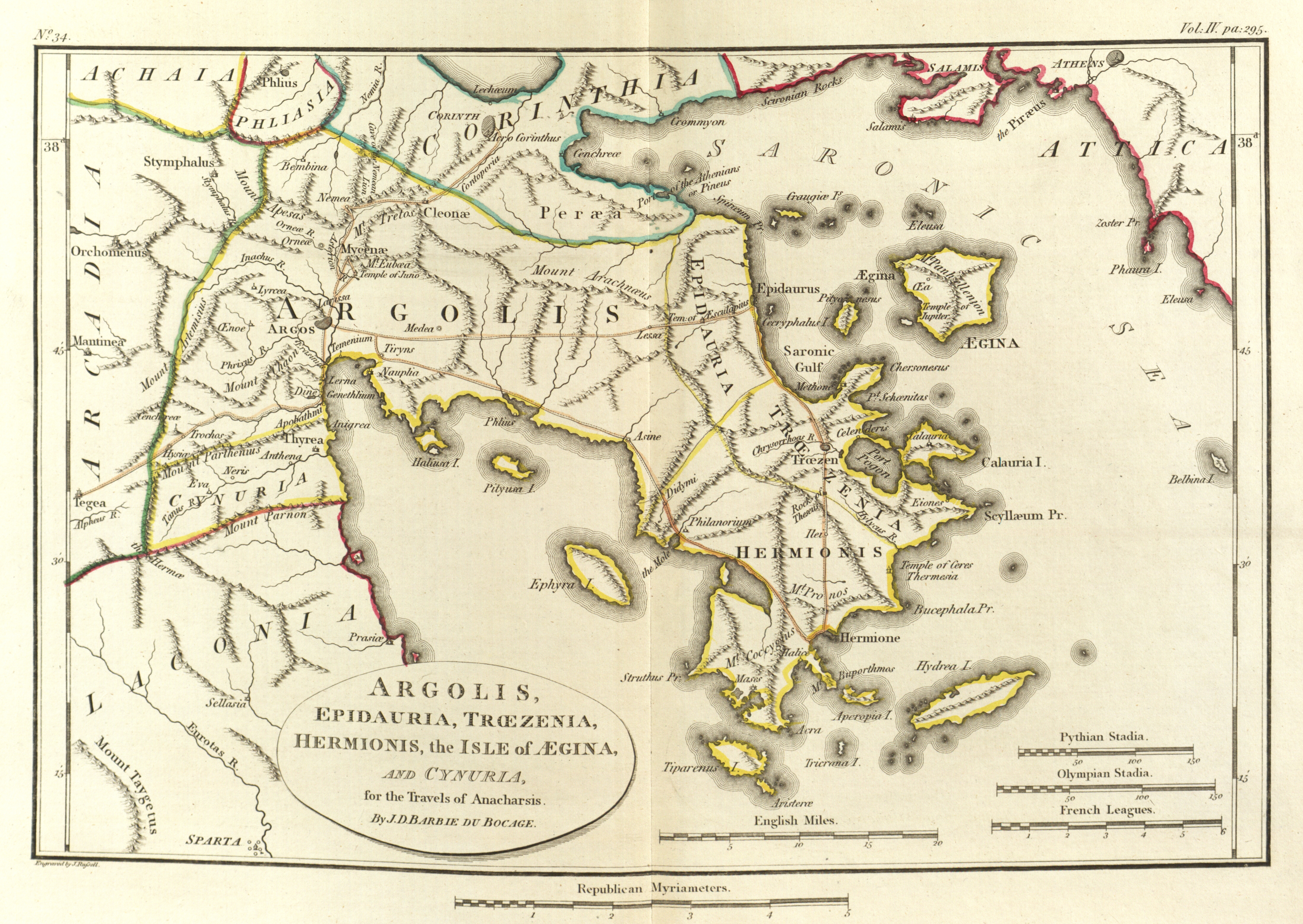
Map of Argolis. PDold Maps plans views and coins illustrative of the travels of Anacharsis the Younger in Greece during the middle of the fourth century before the Christian era Barthlemy Maps by Jean Denis Barbi du Bocage for The Travels of Anacharsis Old maps of ancient Greece Ancient Argolis maps