
Related Images


Download:
| Tiny | 203x128 | View | Download |
| Small | 406x256 | View | Download |
| Medium | 812x512 | View | Download |
| Original | 1467x925 | View | Download |
This image was acquired from
wikimedia. It was marked as Public Domain or CC0 and is free to use. To verify, go to the source and check the information there.
Looking for more info about this image?
Try a Google Reverse Image Search for it.
Try a Google Reverse Image Search for it.
Keywords from Image Description:
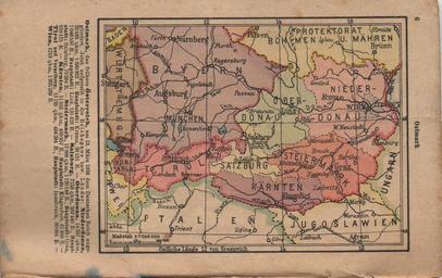
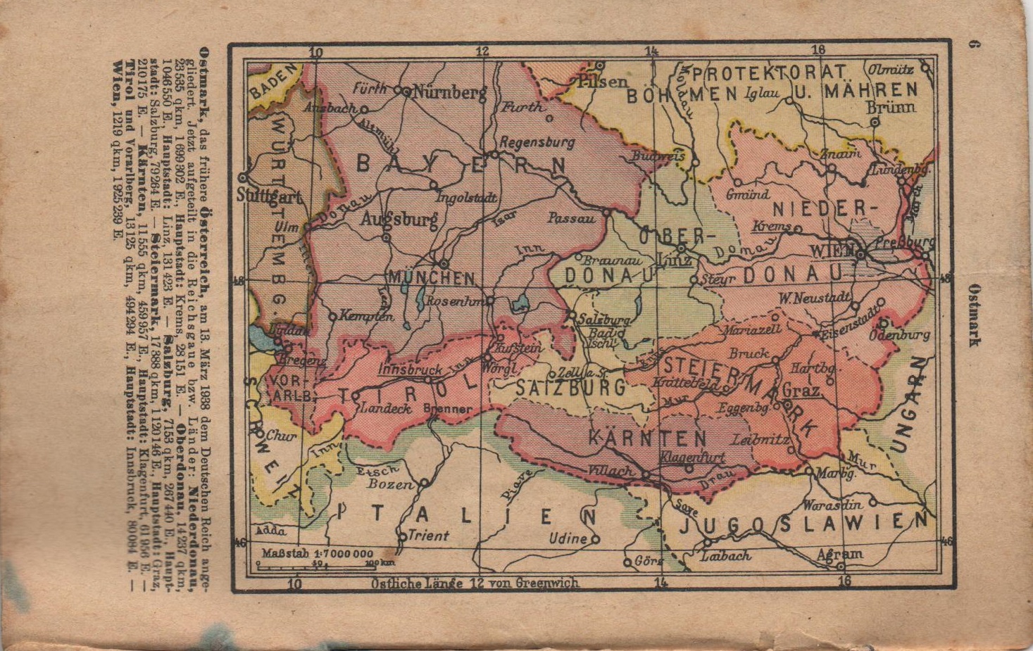
Map of Austria after Anschluss. pl Mapa anektowanej Austrii Ostmark niemieckiego atlasu kieszonkowego en Map of annexed Austria Ostmark from german pocket atlas Private collection author other versions Custom marker Pdold Uploaded with Old maps of Austria