
Related Images


Download:
| Tiny | 149x128 | View | Download |
| Small | 298x256 | View | Download |
| Medium | 596x512 | View | Download |
| Large | 1192x1024 | View | Download |
| Original | 4344x3730 | View | Download |
This image was acquired from
wikimedia. It was marked as Public Domain or CC0 and is free to use. To verify, go to the source and check the information there.
Looking for more info about this image?
Try a Google Reverse Image Search for it.
Try a Google Reverse Image Search for it.
Keywords from Image Description:
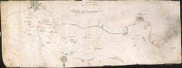
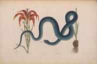
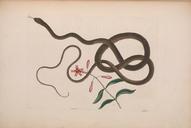
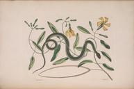
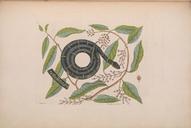
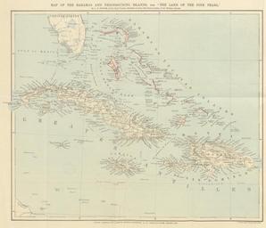
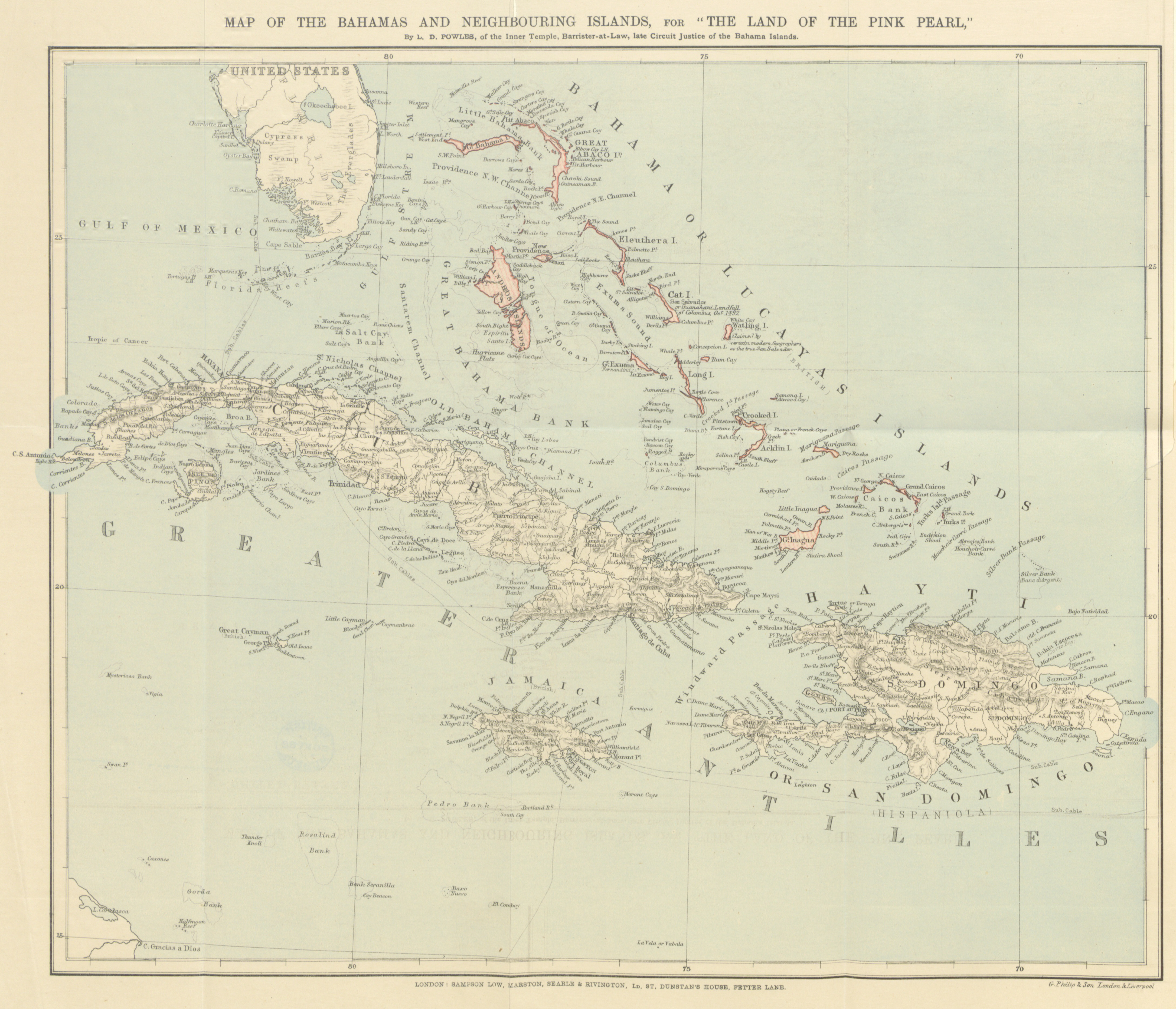
Map of the Bahamas and neighbouring islands. Image extracted from page of The Land of the Pink Pearl or recollections of life in the Bahamas by Louis Powles Original held and digitised by the British Library Copied from Note The colours contrast and appearance of these illustrations are unlikely to be true to life They are