Related Images

Download:
| Tiny | 170x128 | View | Download |
| Small | 340x256 | View | Download |
| Medium | 681x512 | View | Download |
| Large | 1363x1024 | View | Download |
| Original tiff | 7230x5428 | View | Download |
| Original as jpg | 7230x5428 | View | Download |
This image was acquired from
wikimedia. It was marked as Public Domain or CC0 and is free to use. To verify, go to the source and check the information there.
Looking for more info about this image?
Try a Google Reverse Image Search for it.
Try a Google Reverse Image Search for it.
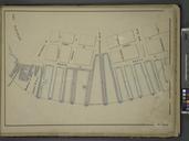
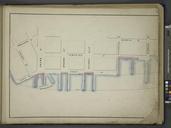
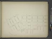
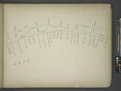
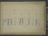
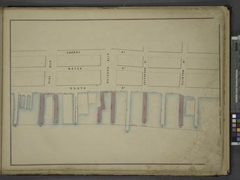
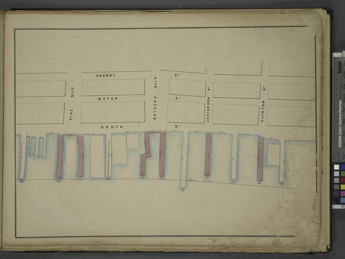
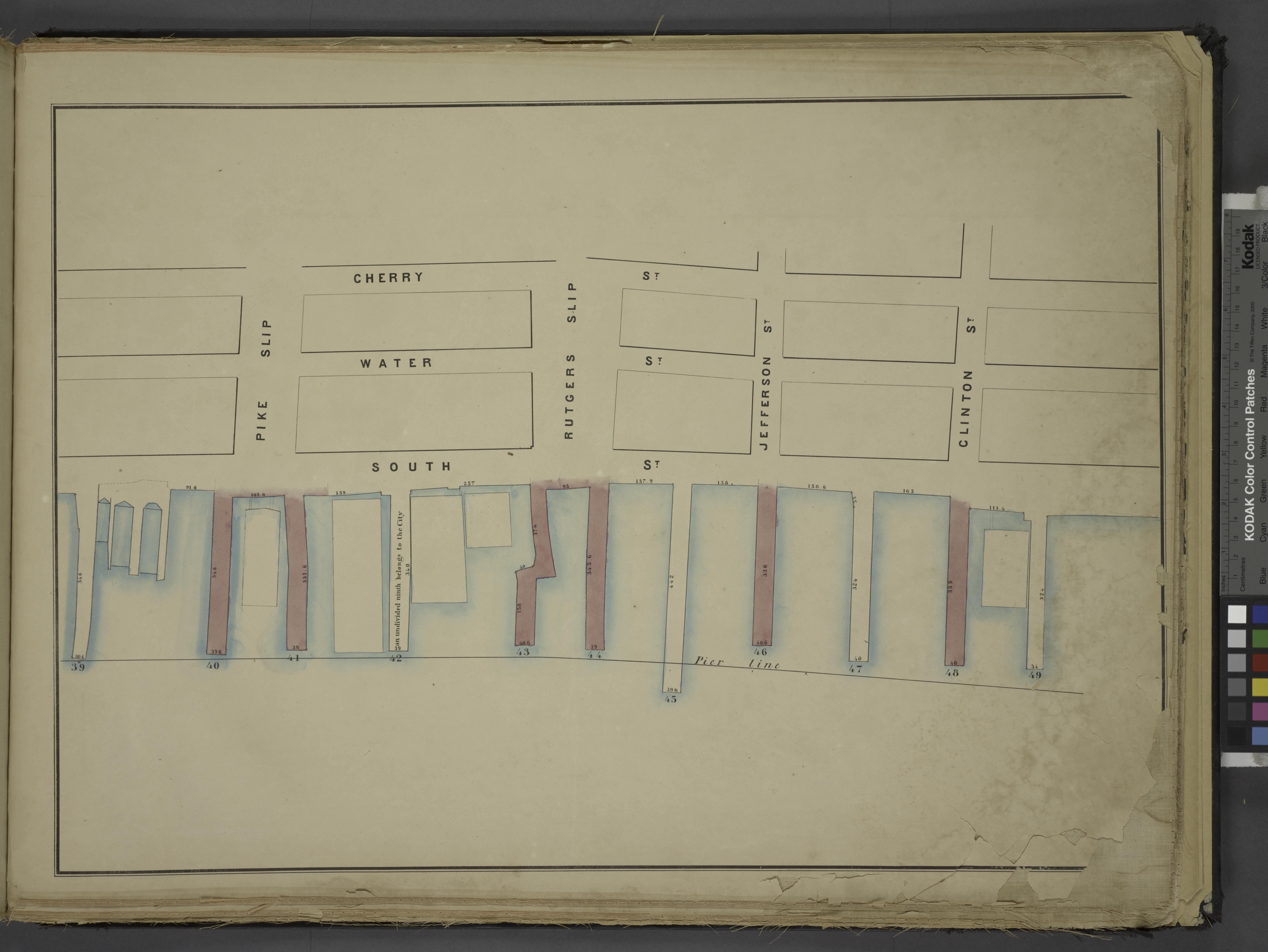
Keywords from Image Description:
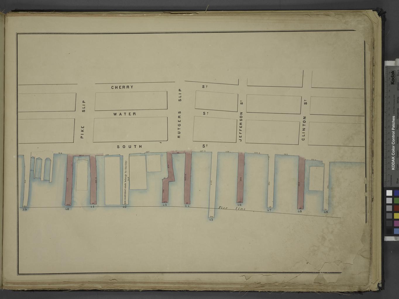
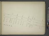
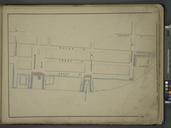
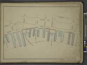
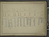
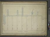
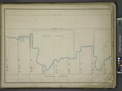
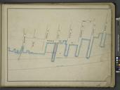
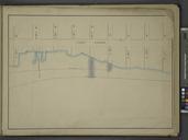
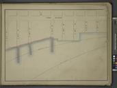
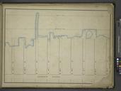
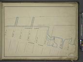
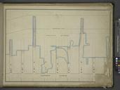
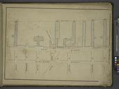
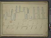
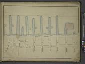
Map bounded by Cherry St Clinton St Pier Line Pike St Including Water St South St Rutgers Slip Jefferson St NYPL. Information Map bounded by Cherry St Clinton St Pier Line Pike St Including Water St South St Rutgers Slip Jefferson St Atlases of New York city Maps of the wharves and piers from the Battery to st street on the