
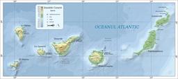
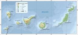
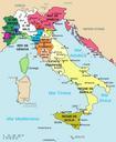
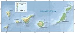
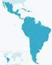
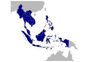
Related Images

Download:
| Tiny | 128x128 | View | Download |
| Small | 256x256 | View | Download |
| Medium | 512x512 | View | Download |
| Original svg | 996x995 | View | Download |
| Original as jpg | 996x995 | View | Download |
This image was acquired from
wikimedia. It was marked as Public Domain or CC0 and is free to use. To verify, go to the source and check the information there.
Looking for more info about this image?
Try a Google Reverse Image Search for it.
Try a Google Reverse Image Search for it.
Keywords from Image Description:
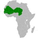
Map of CILSS.svg NoInkscape en Map of the Permanent Interstate Committee for Drought Control in the Sahel CILSS own BlankMapAfrica svg LokalProfil NINTENPUG other versions cczero Maps of Africa Sahel