Related Images

Download:
| Tiny | 176x128 | View | Download |
| Small | 353x256 | View | Download |
| Medium | 707x512 | View | Download |
| Large | 1415x1024 | View | Download |
| Original svg | 3117x2255 | View | Download |
| Original as jpg | 3117x2255 | View | Download |
This image was acquired from
wikimedia. It was marked as Public Domain or CC0 and is free to use. To verify, go to the source and check the information there.
Looking for more info about this image?
Try a Google Reverse Image Search for it.
Try a Google Reverse Image Search for it.
Keywords from Image Description:
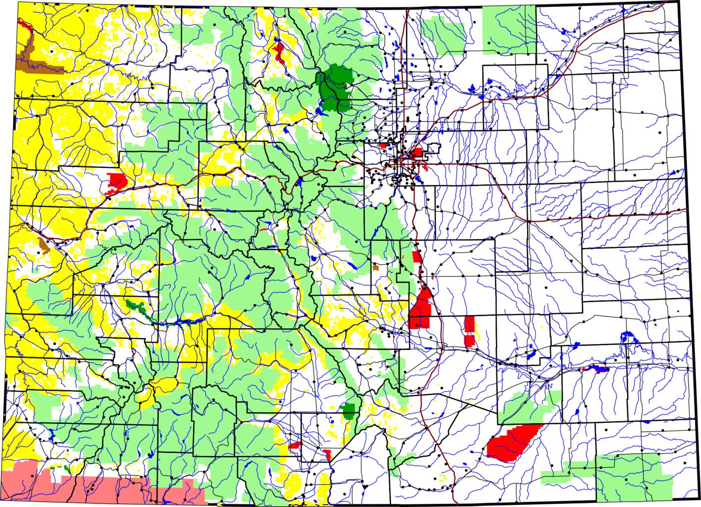
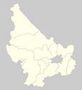
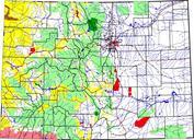
Map of Colorado.svg map of Colorado Dark green is National Park brown is National Monument yellow is Bureau of Land Management land light green is National Forest red is other federal land The thick black lines are county boundaries The thick reddish lines are Interstate Highways thin black lines are other roads Dots are towns The