Related Images


Download:
| Tiny | 167x128 | View | Download |
| Small | 334x256 | View | Download |
| Medium | 669x512 | View | Download |
| Large | 1339x1024 | View | Download |
| Original | 4900x3746 | View | Download |
This image was acquired from
wikimedia. It was marked as Public Domain or CC0 and is free to use. To verify, go to the source and check the information there.
Looking for more info about this image?
Try a Google Reverse Image Search for it.
Try a Google Reverse Image Search for it.
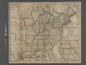
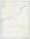
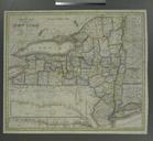
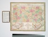
Keywords from Image Description:
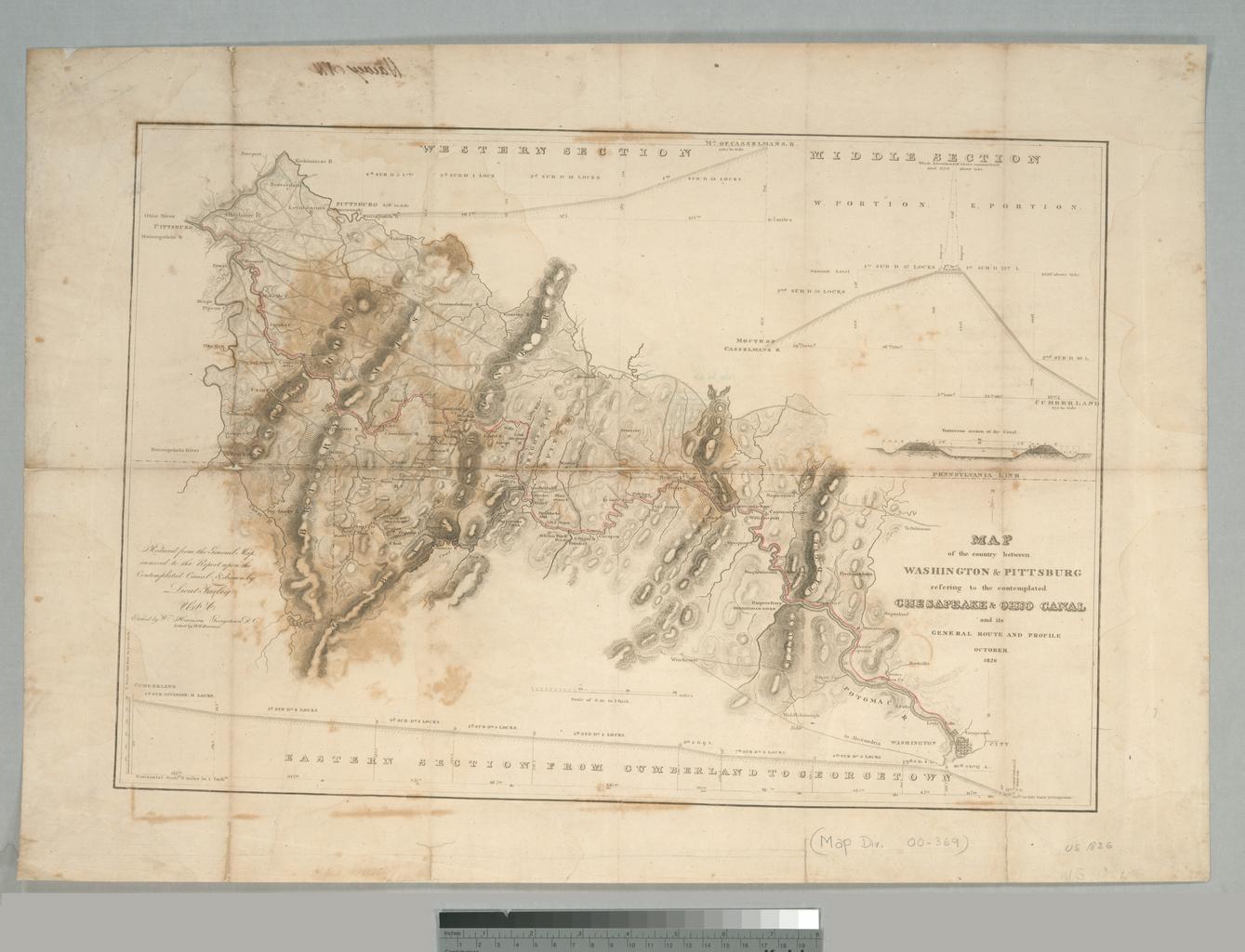
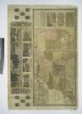
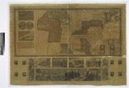
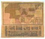
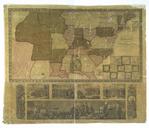
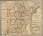
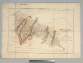
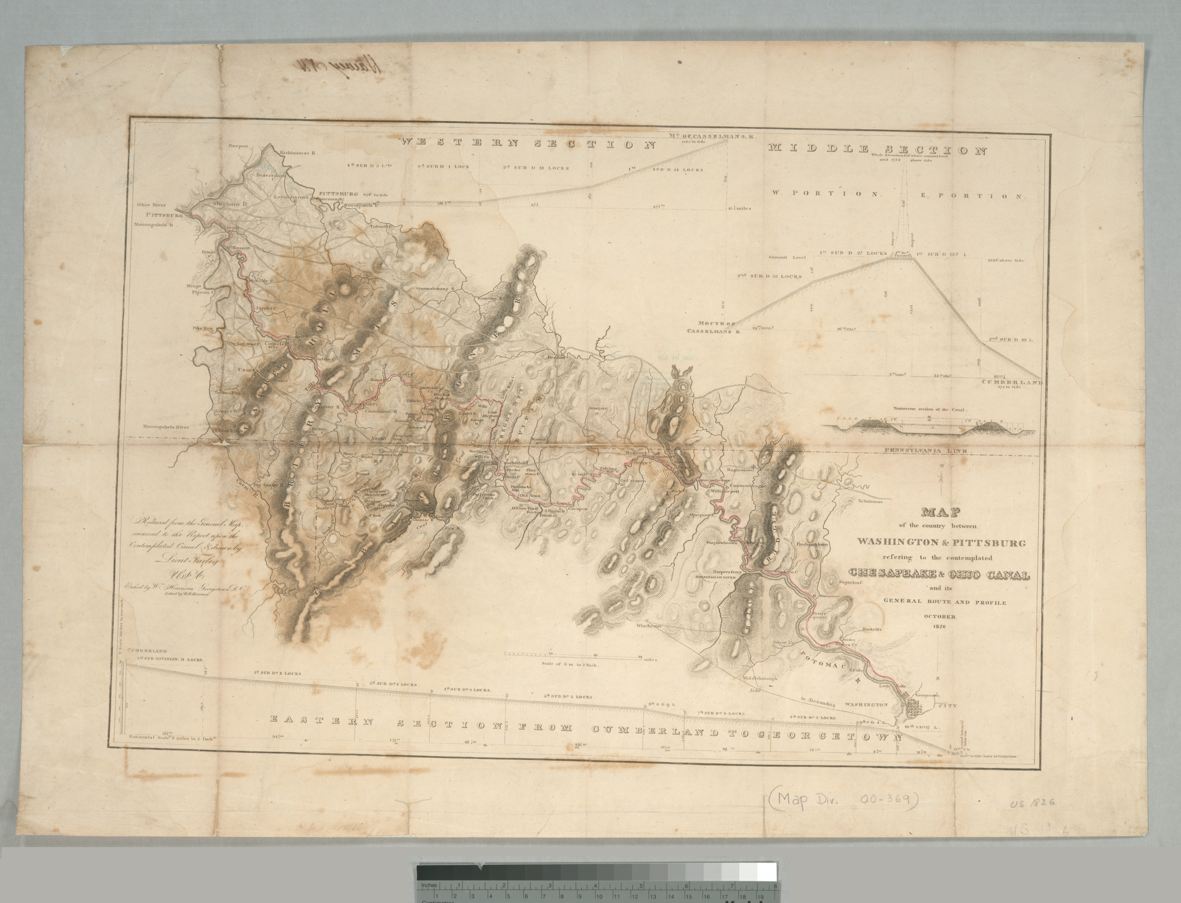
Map of the country between Washington Pittsburg refering to the contemplated Chesapeake Ohio Canal and its general route and profile October NYPL b. en Route of canal highlighted in red Citation The mapping of Maryland Includes elevation profile in segments and Tranverse section of the canal National Endowment for the Humanities