Related Images


Download:
| Tiny | 126x128 | View | Download |
| Small | 252x256 | View | Download |
| Original gif | 415x420 | View | Download |
| Original as jpg | 415x420 | View | Download |
This image was acquired from
wikimedia. It was marked as Public Domain or CC0 and is free to use. To verify, go to the source and check the information there.
Looking for more info about this image?
Try a Google Reverse Image Search for it.
Try a Google Reverse Image Search for it.
Keywords from Image Description:
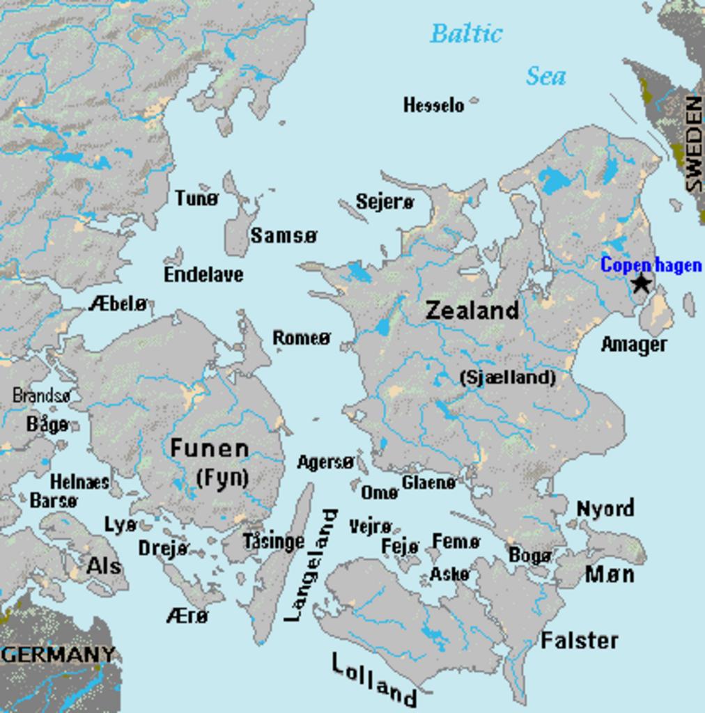
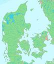
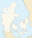
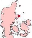
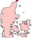
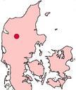
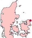
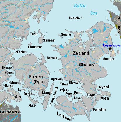
Map Denmark Demis SE islands. Terrain map of southeast Denmark showing the major islands labeled in the region between Germany and Sweden The terrain data was extracted from the Demis map on Commons Image Lademisdenmark and the extracted map was colorshifted to grayshade land areas from the green Demis map Labels are in font face