Related Images
Download:
| Tiny | 114x128 | View | Download |
| Small | 228x256 | View | Download |
| Medium | 457x512 | View | Download |
| Large | 914x1024 | View | Download |
| Original | 7441x8331 | View | Download |
This image was acquired from
wikimedia. It was marked as Public Domain or CC0 and is free to use. To verify, go to the source and check the information there.
Looking for more info about this image?
Try a Google Reverse Image Search for it.
Try a Google Reverse Image Search for it.
Keywords from Image Description:
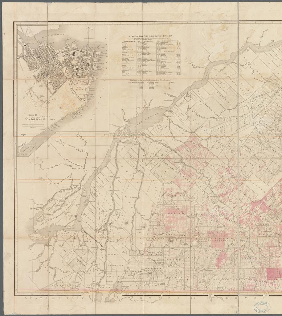
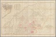
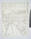
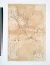
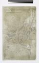
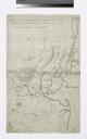
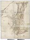
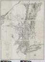
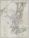
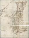
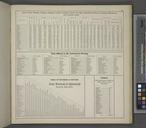
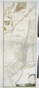
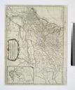
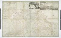
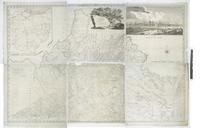
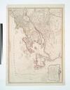
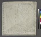
Map of the eastern townships of Lower Canada drawn principally from actual survey for the British American Land Company NYPL b. en Relief shown by hachures Prime meridian Greenwich Shows roads towns villages and landholdings of the British American Land Co Includes inset Plan of Quebec scale approximately Also includes table of