Related Images


Download:
| Tiny | 160x128 | View | Download |
| Small | 320x256 | View | Download |
| Medium | 641x512 | View | Download |
| Large | 1282x1024 | View | Download |
| Original | 5500x4390 | View | Download |
This image was acquired from
wikimedia. It was marked as Public Domain or CC0 and is free to use. To verify, go to the source and check the information there.
Looking for more info about this image?
Try a Google Reverse Image Search for it.
Try a Google Reverse Image Search for it.
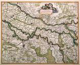
Keywords from Image Description:
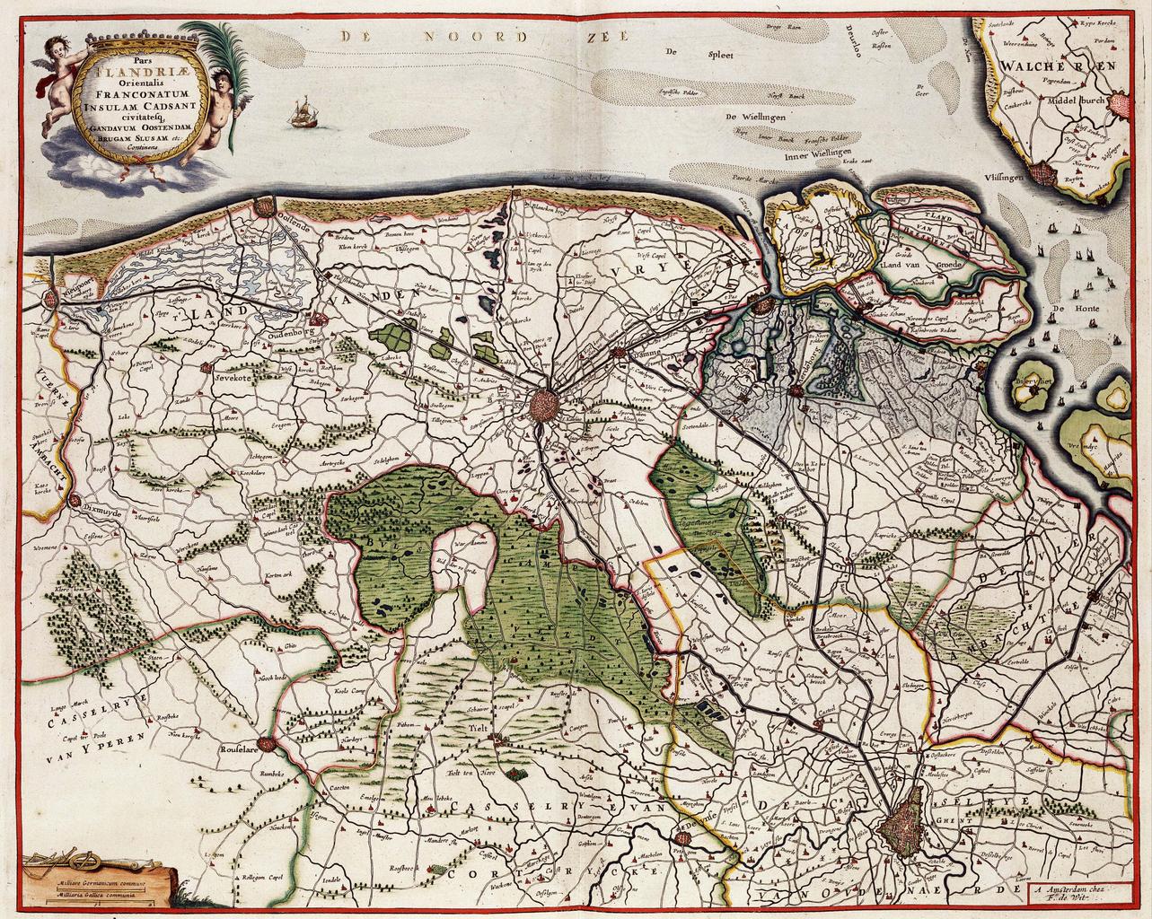
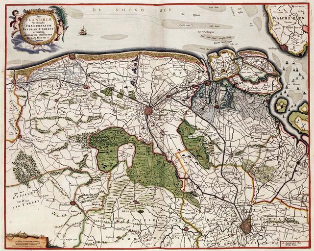
Map of Flanders by Frederik De Wit. en Map of Flanders by Frederik De Wit Pars FLANDRIAE Orientalis FRANCONATUM INSULAM CADSANT CIVITATESQ xx geheugenvannederland nl Creator Frederick de Wit PDold Uploaded with Old maps of Flanders Frederick de Wit Koninklijke Bibliotheek