Related Images


Download:
| Tiny | 174x128 | View | Download |
| Small | 349x256 | View | Download |
| Medium | 698x512 | View | Download |
| Large | 1397x1024 | View | Download |
| Original | 2262x1657 | View | Download |
This image was acquired from
wikimedia. It was marked as Public Domain or CC0 and is free to use. To verify, go to the source and check the information there.
Looking for more info about this image?
Try a Google Reverse Image Search for it.
Try a Google Reverse Image Search for it.
Keywords from Image Description:
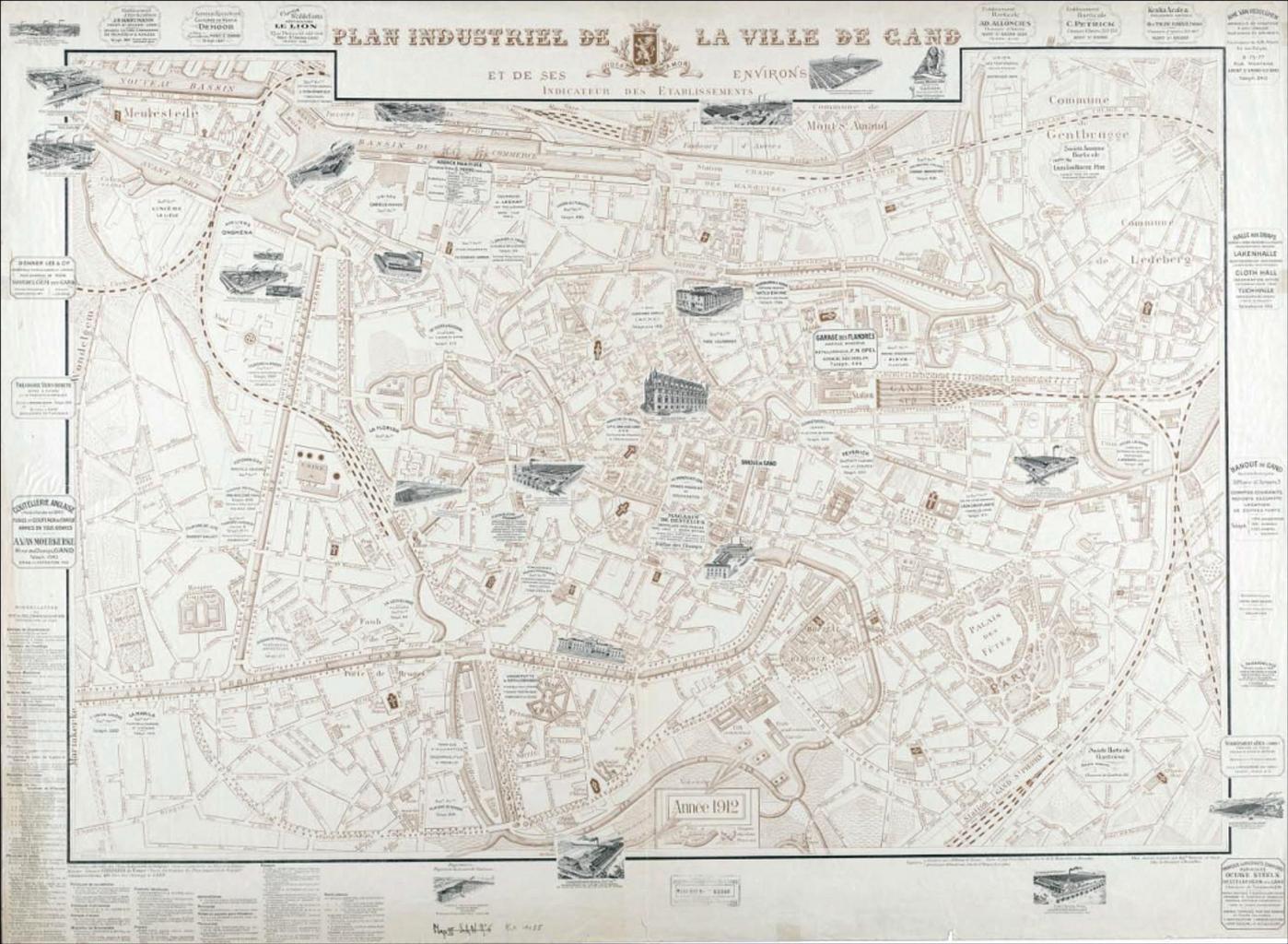
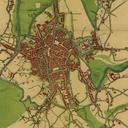
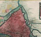
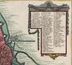
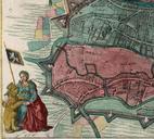
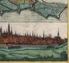
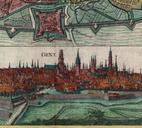
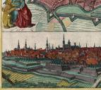
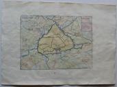
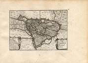
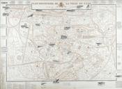
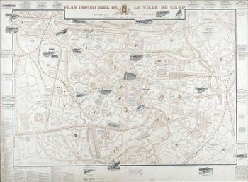
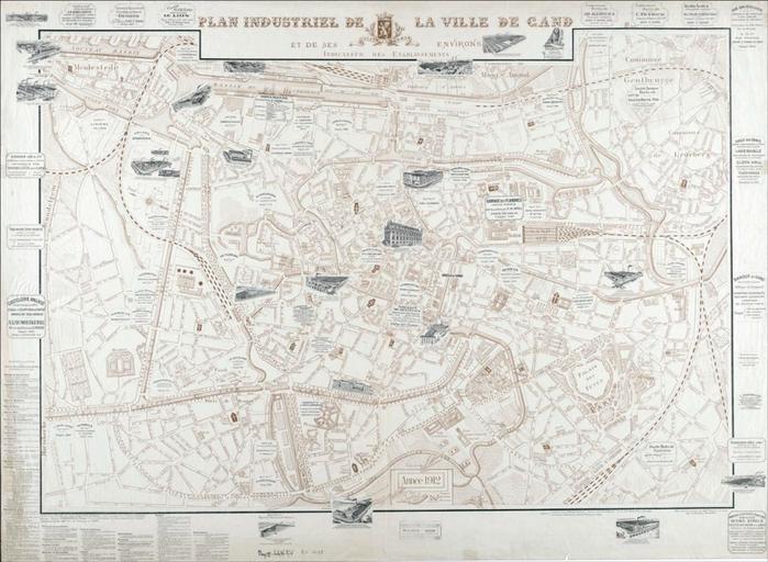
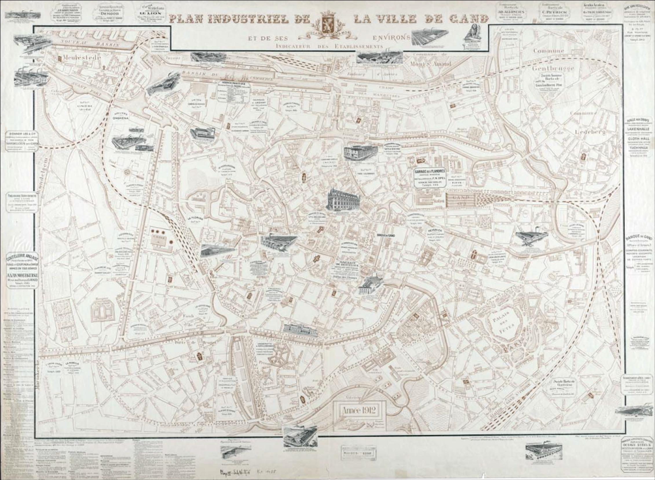
Map of Ghent . en Map of Ghent Plan industriel de la ville de Gand et de ses environs Indicateur de ses tablissements dessin et grav par Aug Verwest ugent be pdf Auguste Verwest Zie ook ugent be PDArt Uploaded with Old maps of Ghent