
Related Images


Download:
| Tiny | 196x128 | View | Download |
| Small | 393x256 | View | Download |
| Medium | 787x512 | View | Download |
| Large | 1575x1024 | View | Download |
| Original svg | 5662x3680 | View | Download |
| Original as jpg | 5662x3680 | View | Download |
This image was acquired from
wikimedia. It was marked as Public Domain or CC0 and is free to use. To verify, go to the source and check the information there.
Looking for more info about this image?
Try a Google Reverse Image Search for it.
Try a Google Reverse Image Search for it.
Keywords from Image Description:
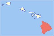
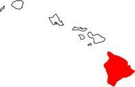
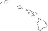
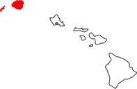
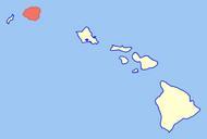
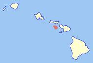
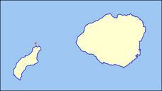
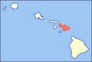
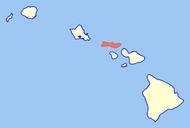
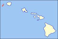
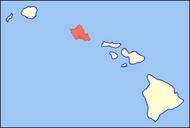
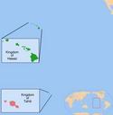
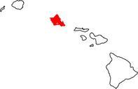
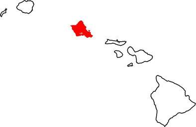
Map of Hawaii highlighting Honolulu County.svg Honolulu County which includes the island of okina ahu and the Northwestern Hawaiian Islands in the state of Hawai okina Credits David Benbennick made this map For more information see Commons United States county locator maps Maps of Honolulu County Hawaii Hawaii county locator maps