Related Images


Download:
| Tiny | 163x128 | View | Download |
| Small | 326x256 | View | Download |
| Medium | 653x512 | View | Download |
| Large | 1307x1024 | View | Download |
| Original | 6304x4939 | View | Download |
This image was acquired from
wikimedia. It was marked as Public Domain or CC0 and is free to use. To verify, go to the source and check the information there.
Looking for more info about this image?
Try a Google Reverse Image Search for it.
Try a Google Reverse Image Search for it.
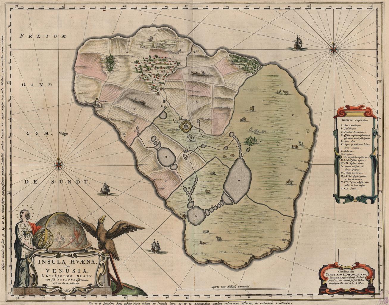
Keywords from Image Description:
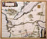
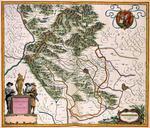
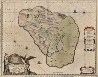
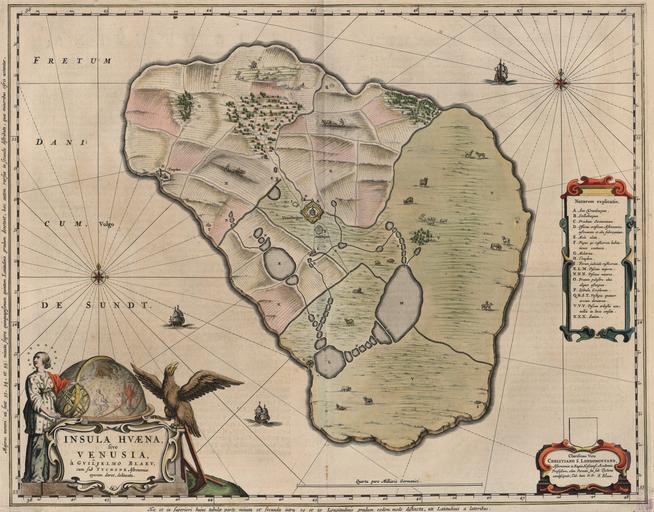
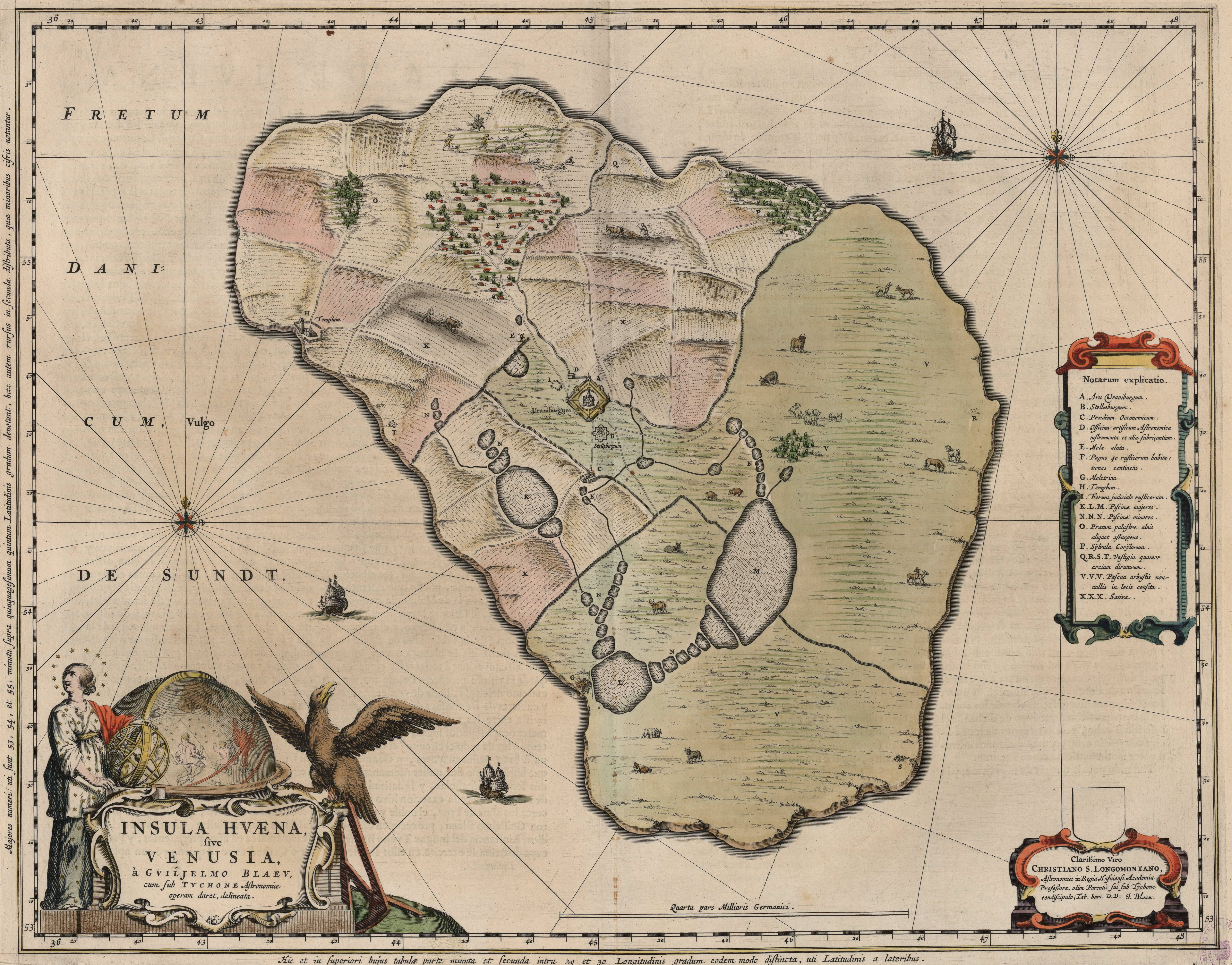
Map of Hven from copper etching of Blaeu Atlas . Scania now part of Sweden to the east It shows the location of Uraniborg just above the centre and below the linked set of ponds that Tycho had created to both collect water and power his papermill and other small industries on the island Name of map INSULAE HVAENAbr Cartographer Johannes