Download:
| Tiny | 291x128 | View | Download |
| Small | 583x256 | View | Download |
| Medium | 1167x512 | View | Download |
| Original png | 1425x625 | View | Download |
| Original as jpg | 1425x625 | View | Download |
This image was acquired from
wikimedia. It was marked as Public Domain or CC0 and is free to use. To verify, go to the source and check the information there.
Looking for more info about this image?
Try a Google Reverse Image Search for it.
Try a Google Reverse Image Search for it.
Keywords from Image Description:
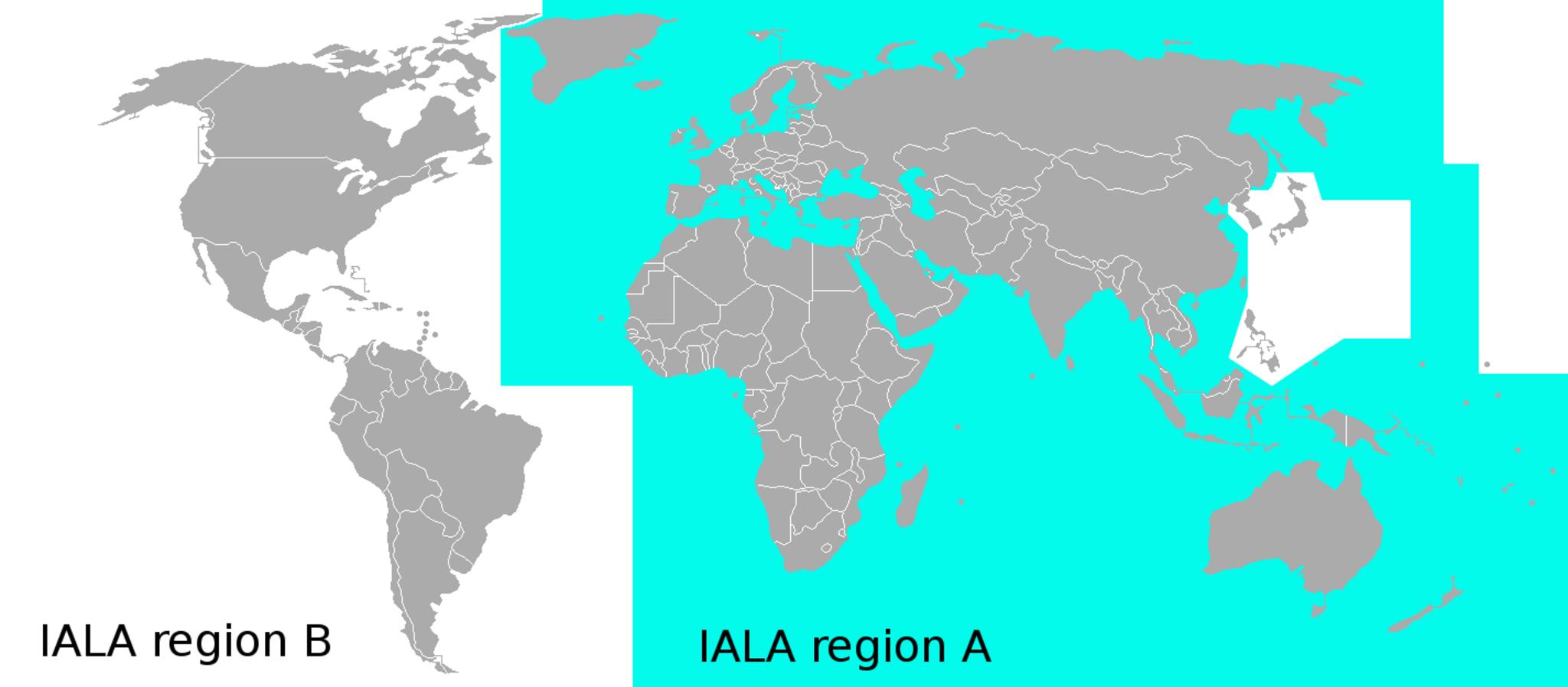
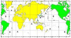
Map IALA regions. br schematic showing the IALA regions around the world The shematic was based on an image in the book Het handboek voor de zeiler by Herreshoff and the images at coastalnavigation html deckofficer info Note Japan Korea and the Philippines belong to the region own KVDP Maritime organisations Diagrams of water
