
Related Images


Download:
| Tiny | 71x128 | View | Download |
| Small | 143x256 | View | Download |
| Medium | 287x512 | View | Download |
| Large | 574x1024 | View | Download |
| Original svg | 3453x6156 | View | Download |
| Original as jpg | 3453x6156 | View | Download |
This image was acquired from
wikimedia. It was marked as Public Domain or CC0 and is free to use. To verify, go to the source and check the information there.
Looking for more info about this image?
Try a Google Reverse Image Search for it.
Try a Google Reverse Image Search for it.
Keywords from Image Description:
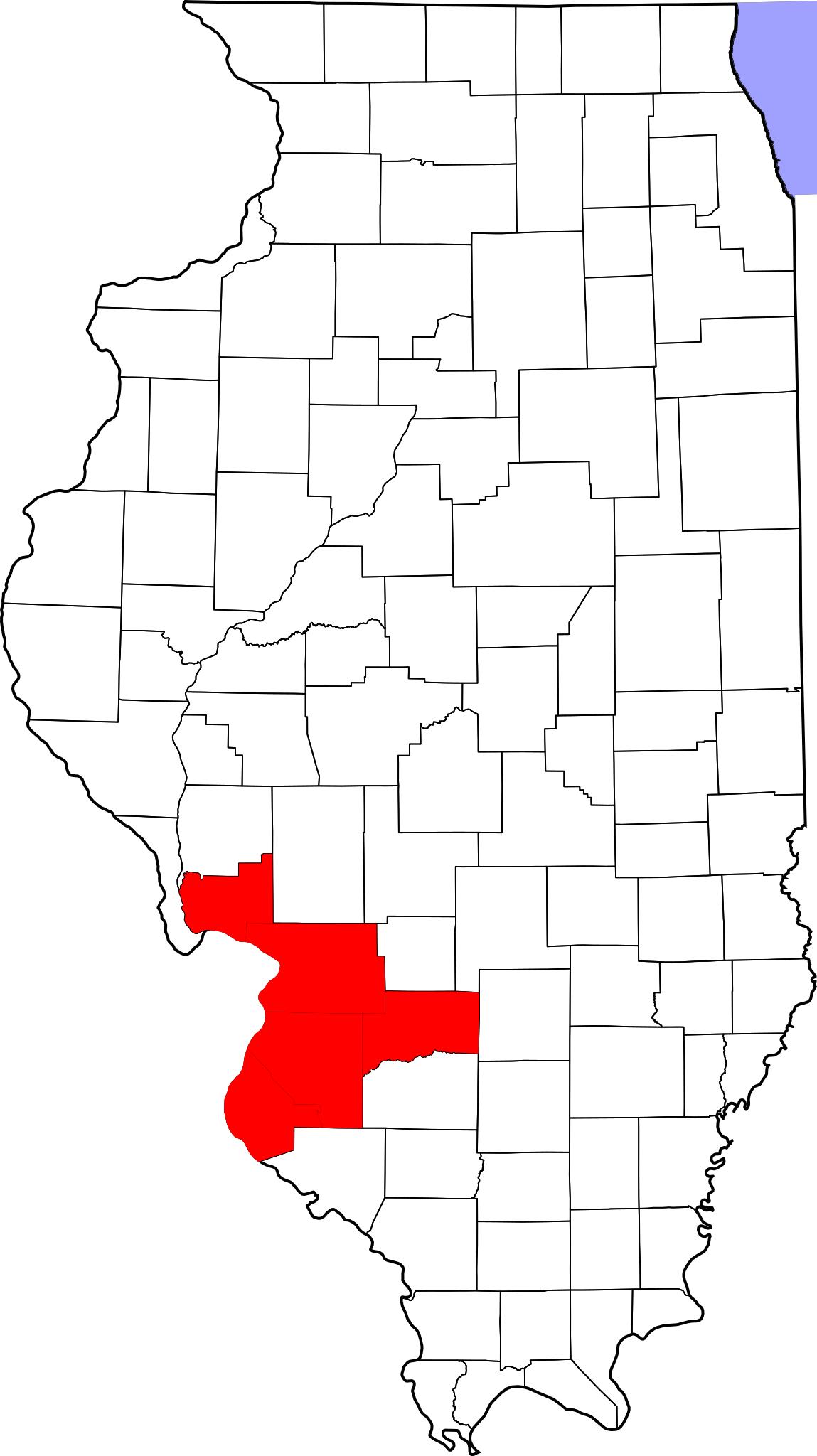
Map of Illinois highlighting MetroEast.svg This is map showing St Louis MetroEast Illinois counties of the St Louis MSA as described by the census Clinton Jersey Madison Monroe and St Clair counties per ides state il us htm own derived from David Benbennick's map For more information see Commons United States county locator maps