Related Images
Download:
| Tiny | 128x128 | View | Download |
| Small | 256x256 | View | Download |
| Medium | 512x512 | View | Download |
| Original svg | 768x768 | View | Download |
| Original as jpg | 768x768 | View | Download |
This image was acquired from
wikimedia. It was marked as Public Domain or CC0 and is free to use. To verify, go to the source and check the information there.
Looking for more info about this image?
Try a Google Reverse Image Search for it.
Try a Google Reverse Image Search for it.
Keywords from Image Description:
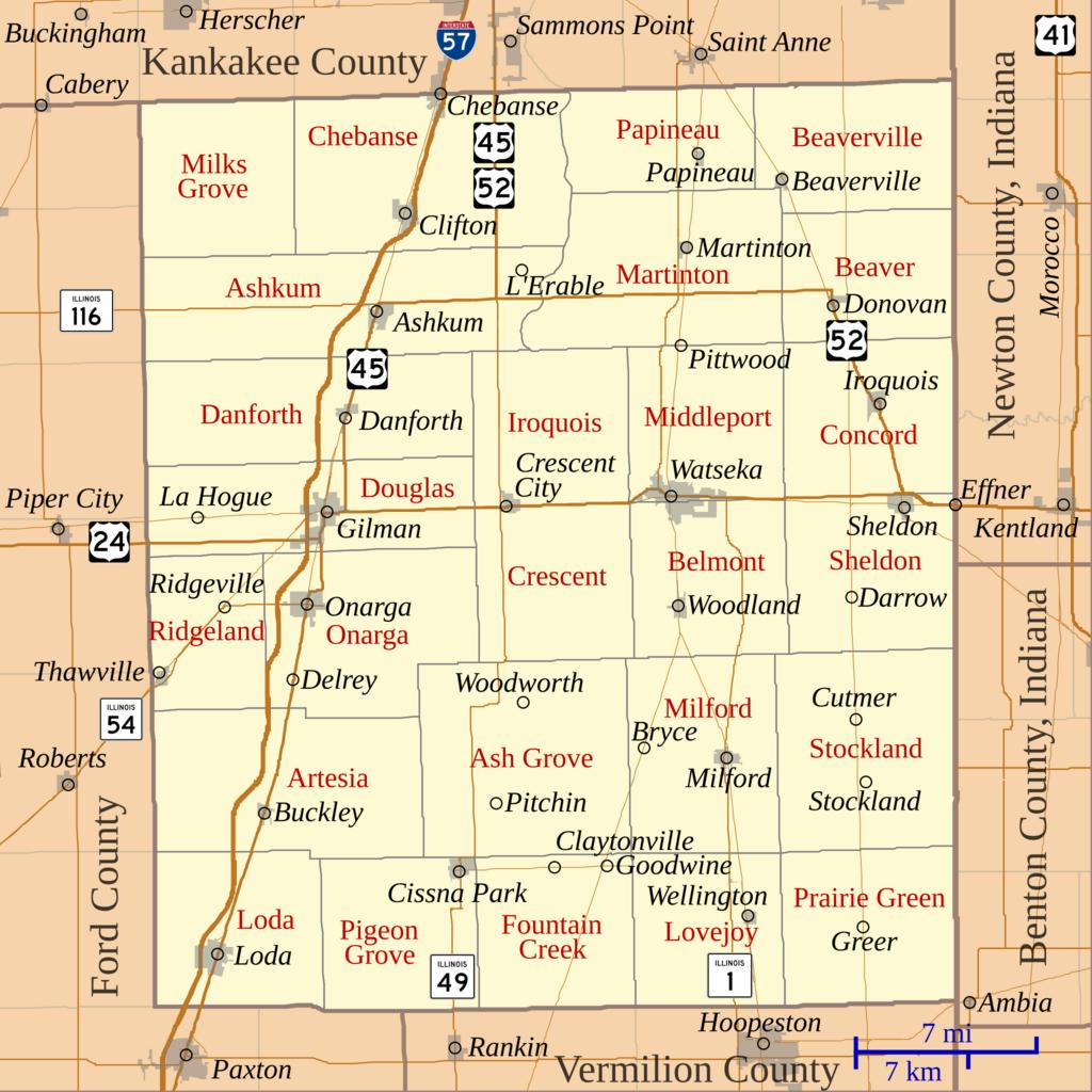
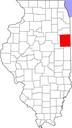
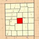
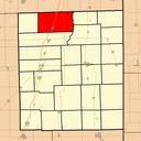
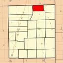
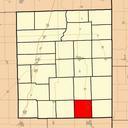
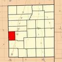
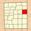
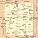
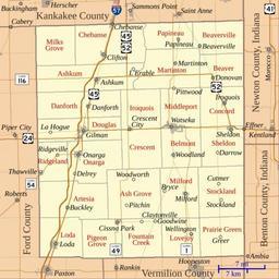
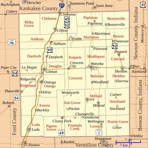
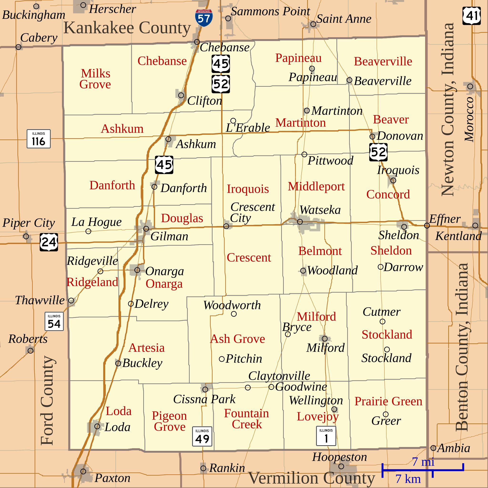
Map of Iroquois County Illinois.svg This is map of Iroquois County Illinois USA which includes incorporated settlements township borders and major highways My own work using customwritten org MapScript applications with census gov html United States Census Bureau data Omnedon Maps of Iroquois County Illinois Maps by User Omnedon