
Related Images

Download:
| Tiny | 138x128 | View | Download |
| Small | 276x256 | View | Download |
| Original png | 542x502 | View | Download |
| Original as jpg | 542x502 | View | Download |
This image was acquired from
wikimedia. It was marked as Public Domain or CC0 and is free to use. To verify, go to the source and check the information there.
Looking for more info about this image?
Try a Google Reverse Image Search for it.
Try a Google Reverse Image Search for it.
Keywords from Image Description:
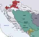
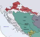
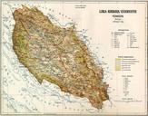
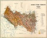
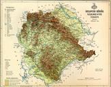
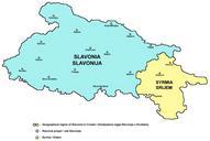
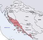
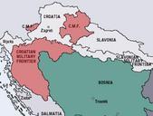
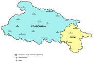
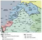
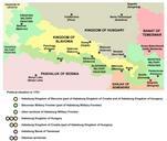
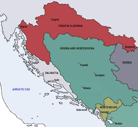
Map of the Kingdom of CroatiaSlavonia . en Map of the Kingdom of Croatia Slavonia cca The Kingdom was part of Transleithanian AustriaHungary the Kingdom of Hungary Lands of the Crown of St Stephen own DIREKTOR ImageNote It's mistake The territory of Sandak Sanjak was ruled by Ottoman Empire until Then passed half and half