
Related Images
Download:
| Tiny | 244x128 | View | Download |
| Small | 489x256 | View | Download |
| Medium | 978x512 | View | Download |
| Original svg | 1928x1009 | View | Download |
| Original as jpg | 1928x1009 | View | Download |
This image was acquired from
wikimedia. It was marked as Public Domain or CC0 and is free to use. To verify, go to the source and check the information there.
Looking for more info about this image?
Try a Google Reverse Image Search for it.
Try a Google Reverse Image Search for it.
Keywords from Image Description:
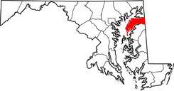
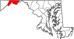
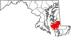
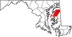
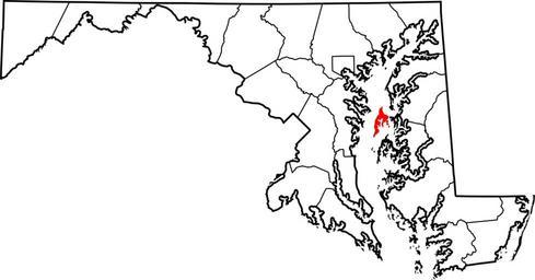
Map of Maryland highlighting Kent Island.svg locator map showing Kent Island in Maryland David Benbennick made this map It is simple modification of Image Map of Maryland highlighting Queen Anne's County svg Category Maryland county locator maps Kent Island Maryland