
Related Images


Download:
| Tiny | 130x128 | View | Download |
| Small | 260x256 | View | Download |
| Medium | 521x512 | View | Download |
| Large | 1042x1024 | View | Download |
| Original | 13690x13449 | View | Download |
This image was acquired from
wikimedia. It was marked as Public Domain or CC0 and is free to use. To verify, go to the source and check the information there.
Looking for more info about this image?
Try a Google Reverse Image Search for it.
Try a Google Reverse Image Search for it.
Keywords from Image Description:
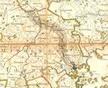
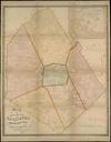
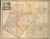
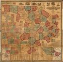
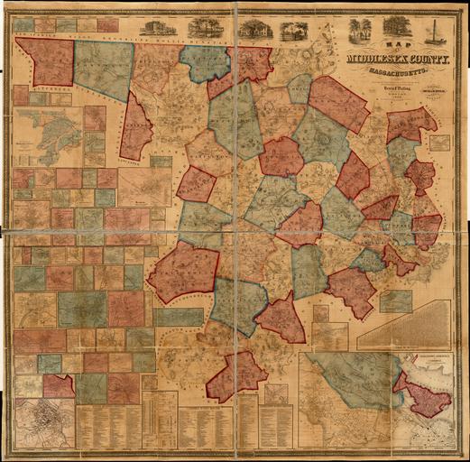
Map of Middlesex County Massachusetts . Map Map of Middlesex County Massachusetts Walling Henry Francis digitalcommonwealth org Digital Commonwealth Smith Bumstead Institution Boston Public Library cm Shows buildings with names of property owners Relief shown by hachures Engraved by Ferd Mayer Co Lith Includes many cadastral