
Related Images


Download:
| Tiny | 167x128 | View | Download |
| Small | 335x256 | View | Download |
| Medium | 671x512 | View | Download |
| Large | 1343x1024 | View | Download |
| Original svg | 6599x5029 | View | Download |
| Original as jpg | 6599x5029 | View | Download |
This image was acquired from
wikimedia. It was marked as Public Domain or CC0 and is free to use. To verify, go to the source and check the information there.
Looking for more info about this image?
Try a Google Reverse Image Search for it.
Try a Google Reverse Image Search for it.
Keywords from Image Description:
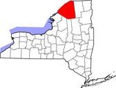
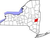
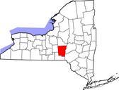
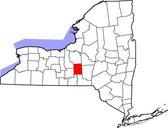
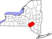
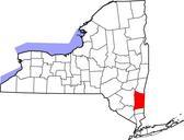
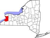
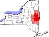
Map of New York highlighting Capital District.svg Map of New York's Capital District The Capital District is an imprecise geographical area in upstate New York centered around the state capital of Albany Counties generally included in the Capital District are in red Albany Rensselaer Saratoga and Schenectady counties Other counties