Related Images


Download:
| Tiny | 110x128 | View | Download |
| Small | 220x256 | View | Download |
| Medium | 440x512 | View | Download |
| Large | 881x1024 | View | Download |
| Original | 7280x8457 | View | Download |
This image was acquired from
wikimedia. It was marked as Public Domain or CC0 and is free to use. To verify, go to the source and check the information there.
Looking for more info about this image?
Try a Google Reverse Image Search for it.
Try a Google Reverse Image Search for it.
Keywords from Image Description:
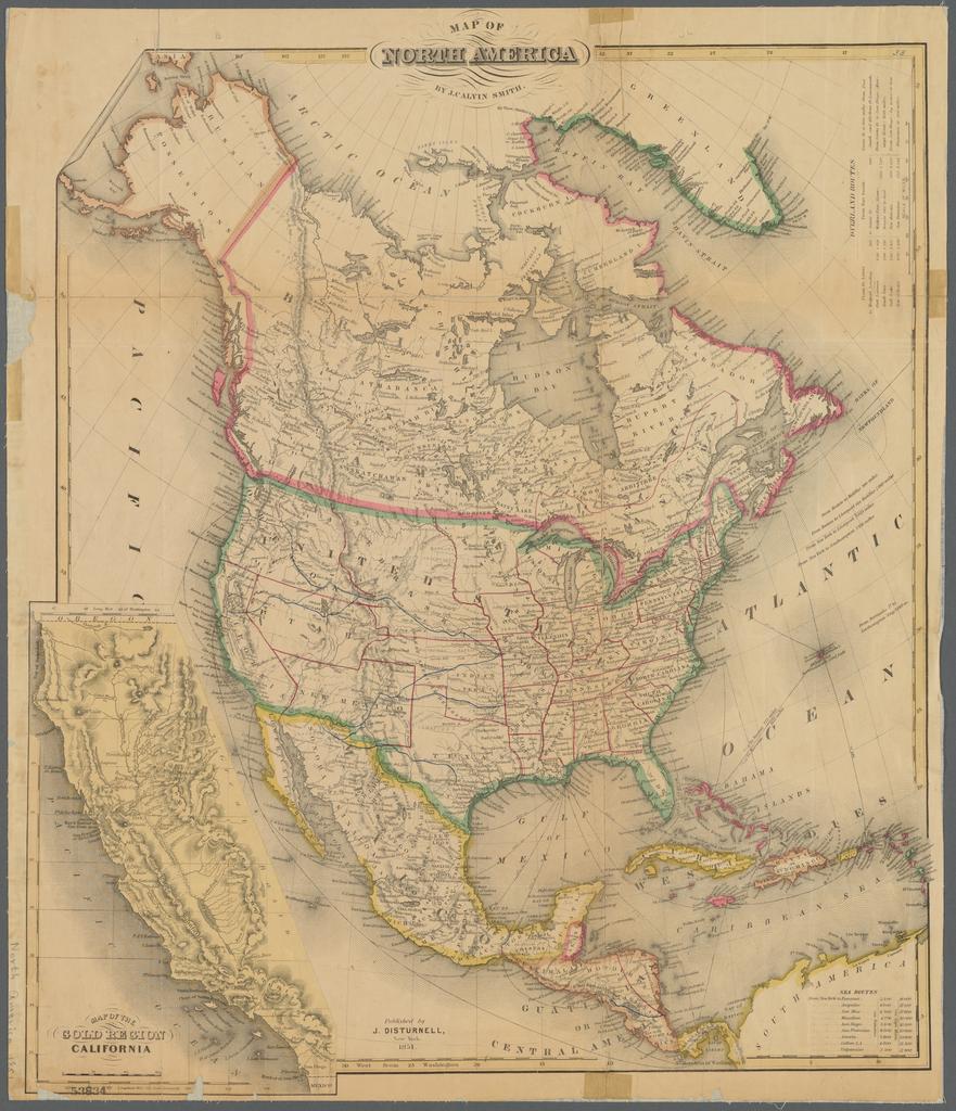
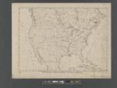
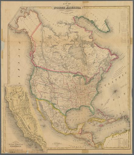
Map of North America NYPL b. en Relief shown by hachures Includes distances for overland routes from St Louis and Fort Smith and distances for sea routes from New York Inset map Map of the gold region California Scale ca Prime meridians Washington and Greenwich Mapping the Nation NEH grant nypl org Scan by NYPL Map of North