
Related Images

Download:
| Tiny | 337x128 | View | Download |
| Small | 675x256 | View | Download |
| Medium | 1350x512 | View | Download |
| Large | 2701x1024 | View | Download |
| Original svg | 8060x3055 | View | Download |
| Original as jpg | 8060x3055 | View | Download |
This image was acquired from
wikimedia. It was marked as Public Domain or CC0 and is free to use. To verify, go to the source and check the information there.
Looking for more info about this image?
Try a Google Reverse Image Search for it.
Try a Google Reverse Image Search for it.
Keywords from Image Description:
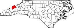
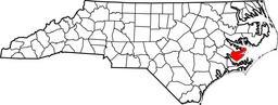
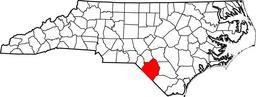
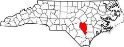
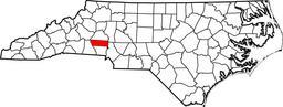
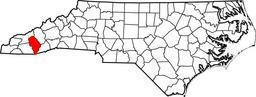
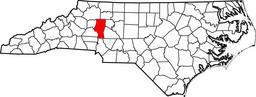
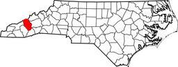
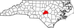
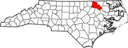
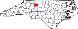
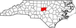
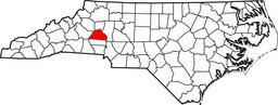
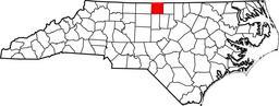
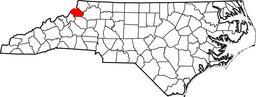
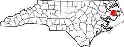
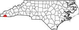
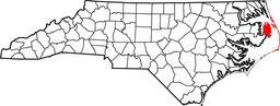
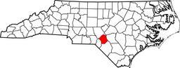
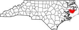
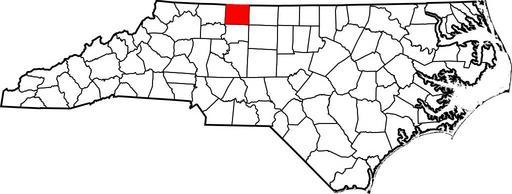
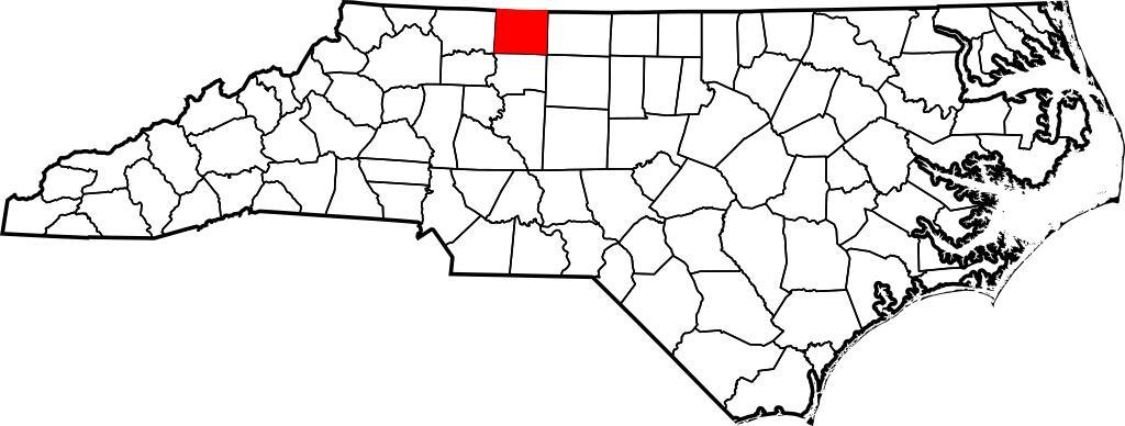
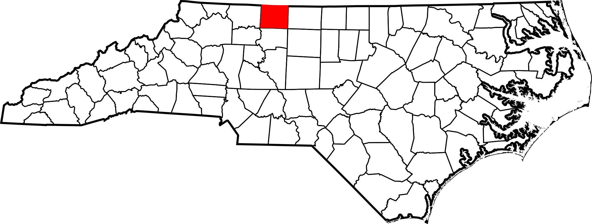
Map of North Carolina highlighting Stokes County.svg This is locator map showing Stokes County in North Carolina For more information see Commons United States county locator maps own The maps use data from nationalatlas gov nationalatlas gov specifically cr usgs gov tar gz countyp tar gz on the nationalatlas gov html Raw