
Related Images


Download:
| Tiny | 114x128 | View | Download |
| Small | 228x256 | View | Download |
| Medium | 456x512 | View | Download |
| Large | 912x1024 | View | Download |
| Original | 1337x1500 | View | Download |
This image was acquired from
wikimedia. It was marked as Public Domain or CC0 and is free to use. To verify, go to the source and check the information there.
Looking for more info about this image?
Try a Google Reverse Image Search for it.
Try a Google Reverse Image Search for it.
Keywords from Image Description:
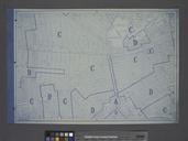
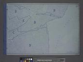
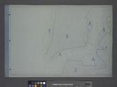
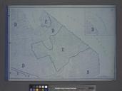
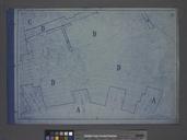
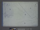
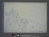
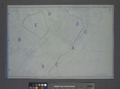
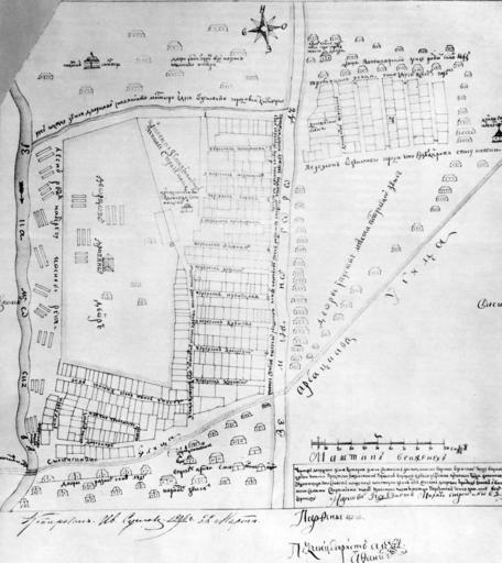
Map of NovinskySmolenskaya area s. An early map of Moscow district on the presentday Garden Ring around Novinsky boulevard and Smolenskaya Square south from presentday Protochny Lane and New Arbat Street Apparently the topographers concentrated on the territories west of the Ring only The map was compiled soon after suppression of