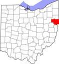
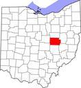
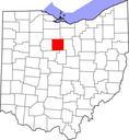
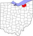
Related Images

Download:
| Tiny | 128x128 | View | Download |
| Small | 256x256 | View | Download |
| Medium | 512x512 | View | Download |
| Original svg | 768x768 | View | Download |
| Original as jpg | 768x768 | View | Download |
This image was acquired from
wikimedia. It was marked as Public Domain or CC0 and is free to use. To verify, go to the source and check the information there.
Looking for more info about this image?
Try a Google Reverse Image Search for it.
Try a Google Reverse Image Search for it.
Keywords from Image Description:
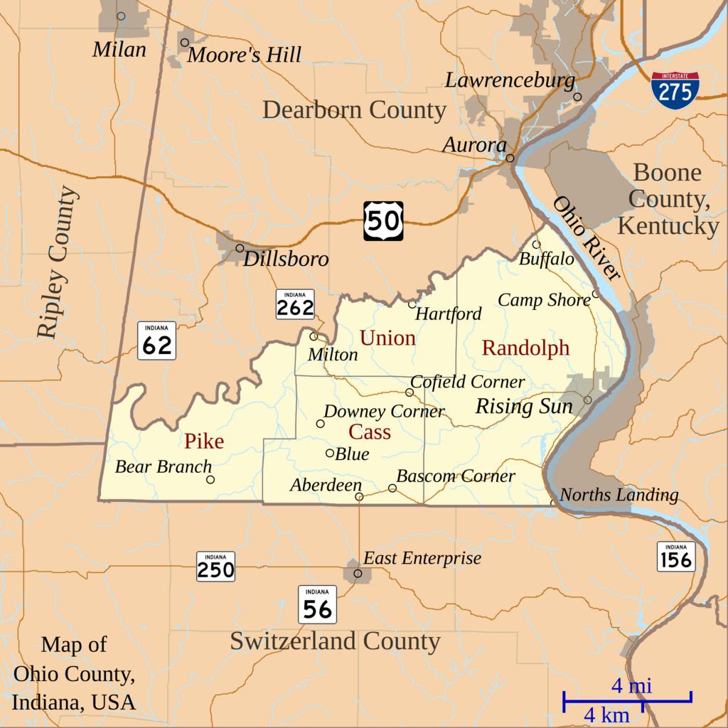
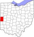
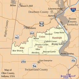
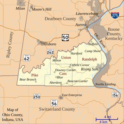
Map of Ohio County Indiana.svg This is map of Ohio County Indiana USA which shows settlements townships roads railroads and rivers My own work using freelyavailable shape data and customwritten MapScript applications Omnedon Maps of Ohio County Indiana Maps by User Omnedon