
Related Images


Download:
| Tiny | 131x128 | View | Download |
| Small | 263x256 | View | Download |
| Original svg | 340x330 | View | Download |
| Original as jpg | 340x330 | View | Download |
This image was acquired from
wikimedia. It was marked as Public Domain or CC0 and is free to use. To verify, go to the source and check the information there.
Looking for more info about this image?
Try a Google Reverse Image Search for it.
Try a Google Reverse Image Search for it.
Keywords from Image Description:
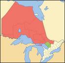
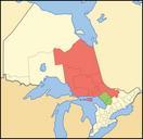
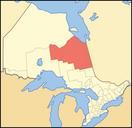
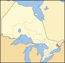
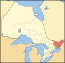
Map of Ontario EASTERN.svg Created with Inkscape map showing the census divisions which compose en Eastern Ontario Green divisions are in Central Ontario but occasionally considered part of Eastern Ontario as well Crop and trace of Image Canada geolocalisation svg trace of Image Ontario subdivisions Vidioman en Image Eastont Maps