
Related Images


Download:
| Tiny | 112x128 | View | Download |
| Small | 224x256 | View | Download |
| Medium | 449x512 | View | Download |
| Large | 898x1024 | View | Download |
| Original | 3832x4368 | View | Download |
This image was acquired from
wikimedia. It was marked as Public Domain or CC0 and is free to use. To verify, go to the source and check the information there.
Looking for more info about this image?
Try a Google Reverse Image Search for it.
Try a Google Reverse Image Search for it.
Keywords from Image Description:
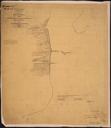
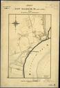
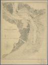
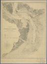
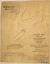
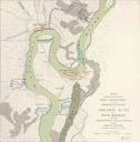
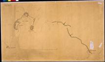
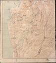
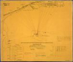
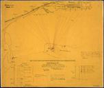
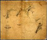
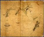
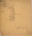
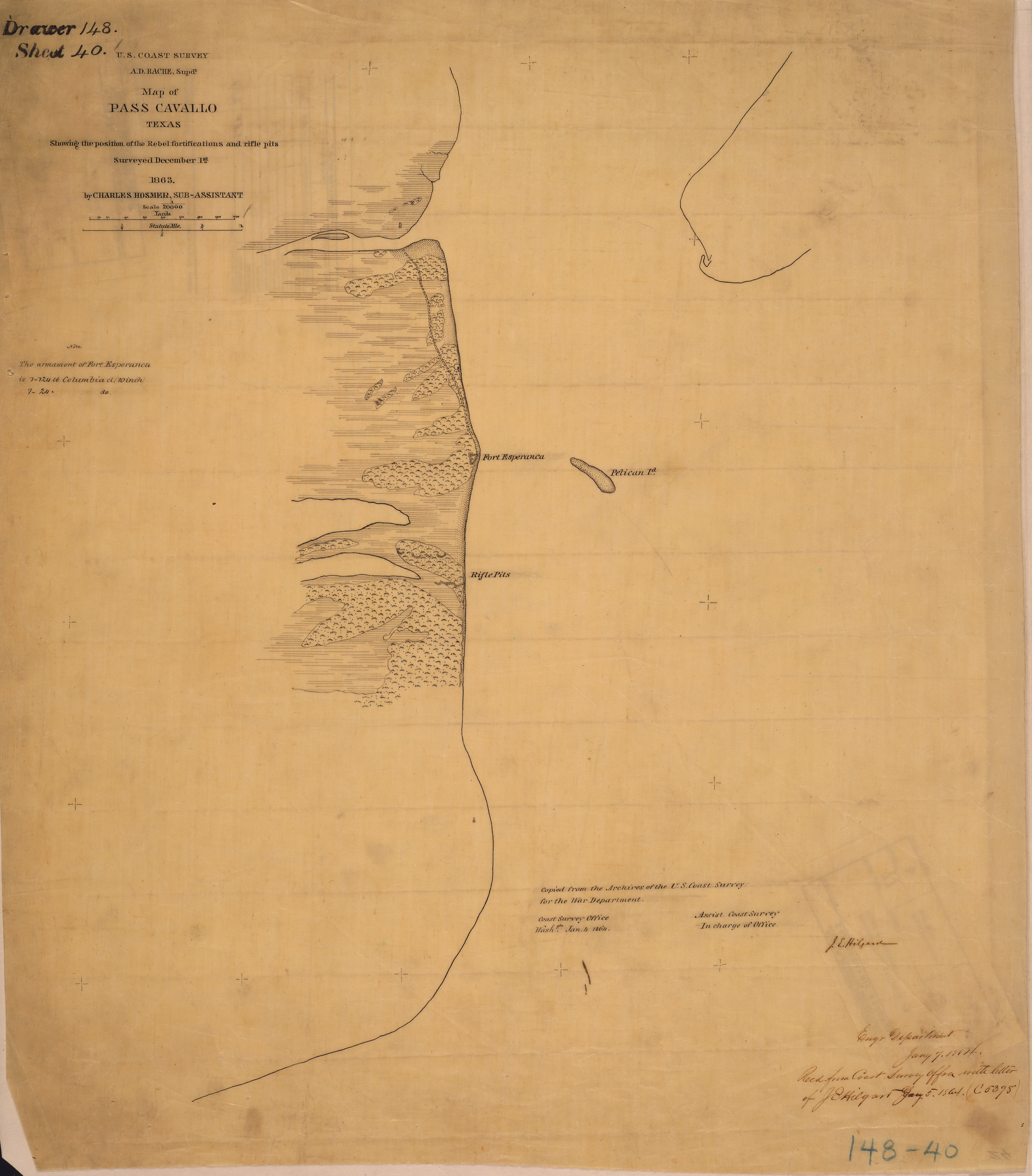
Map of Pass Cavallo Texas Showing the position of the Rebel fortifications and rifle pits. Surveyed December st... NARA . Scope and content General notes Local identifier FORTSDRSHT War Department Office of the Chief of Engineers Charles Hosmer SubAssistant Coast Survey Cartographic and Architectural Records Section Special