Related Images


Download:
| Tiny | 147x128 | View | Download |
| Small | 295x256 | View | Download |
| Original png | 363x315 | View | Download |
| Original as jpg | 363x315 | View | Download |
This image was acquired from
wikimedia. It was marked as Public Domain or CC0 and is free to use. To verify, go to the source and check the information there.
Looking for more info about this image?
Try a Google Reverse Image Search for it.
Try a Google Reverse Image Search for it.
Keywords from Image Description:
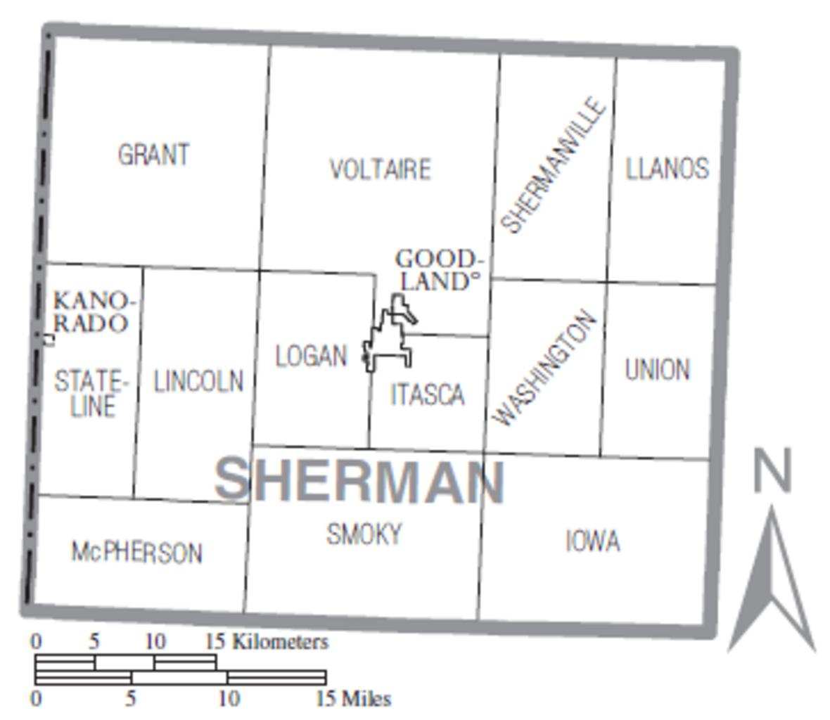
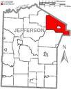
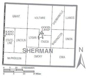
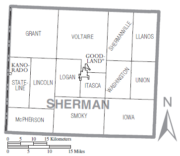
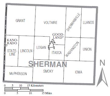
Map of Sherman County Kansas with municipal and township labels. Map of Sherman County Kansas Sherman County Kansas United States with township and municipal boundaries Modified from census gov pdf this United States Census Bureau file User Nyttend Nyttend US Government work is public domain and my work is Maps of Sherman County