
Related Images


Download:
| Tiny | 186x128 | View | Download |
| Small | 372x256 | View | Download |
| Medium | 745x512 | View | Download |
| Original | 1161x797 | View | Download |
This image was acquired from
wikimedia. It was marked as Public Domain or CC0 and is free to use. To verify, go to the source and check the information there.
Looking for more info about this image?
Try a Google Reverse Image Search for it.
Try a Google Reverse Image Search for it.
Keywords from Image Description:
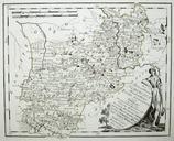
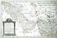
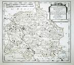
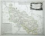
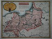
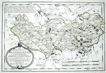
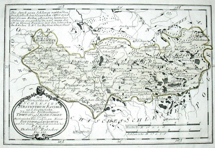
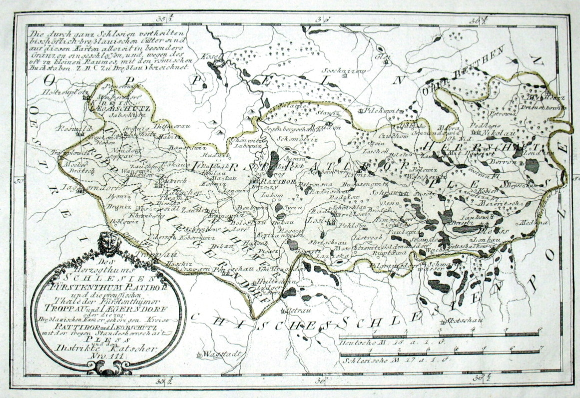
Map of Silesia in by Reilly . Des Herzogthums Schlesien Frstenthum Ratibor und die preussischen Theile der Frstenthmer Troppau und Iaegerndorf oder die zur Brelauischen Kammer gehrigen Kreise Rattibor und Leobschtz mit der freyen Standesherrschaft Pless und dem Distikte Katscher Nro Kolorierter Kupferstich ebay de dll ViewItem