
Related Images
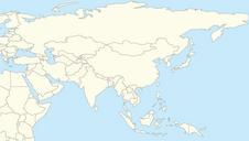

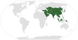
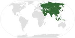

Download:
| Tiny | 90x128 | View | Download |
| Small | 181x256 | View | Download |
| Medium | 363x512 | View | Download |
| Large | 727x1024 | View | Download |
| Original svg | 791x1114 | View | Download |
| Original as jpg | 791x1114 | View | Download |
This image was acquired from
wikimedia. It was marked as Public Domain or CC0 and is free to use. To verify, go to the source and check the information there.
Looking for more info about this image?
Try a Google Reverse Image Search for it.
Try a Google Reverse Image Search for it.
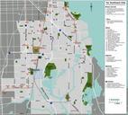
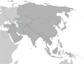
Keywords from Image Description:
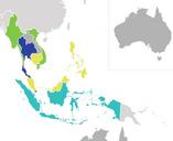
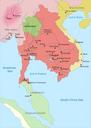
Mapofsoutheastasia CE.svg en Map of Southeast Asia circa CE showing the Khmer Empire in red Champa in yellow and Haripunjaya in light Green plus additional surrounding states Based on org MapofsoutheastasiaCE own Jembezmamy other versions cczero Maps of Khmer Empire