
Related Images


Download:
| Tiny | 97x128 | View | Download |
| Small | 194x256 | View | Download |
| Medium | 389x512 | View | Download |
| Large | 778x1024 | View | Download |
| Original tiff | 3992x5251 | View | Download |
| Original as jpg | 3992x5251 | View | Download |
This image was acquired from
wikimedia. It was marked as Public Domain or CC0 and is free to use. To verify, go to the source and check the information there.
Looking for more info about this image?
Try a Google Reverse Image Search for it.
Try a Google Reverse Image Search for it.
Keywords from Image Description:
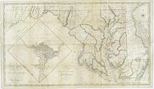
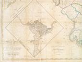
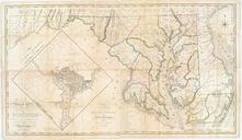
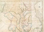
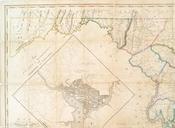
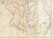
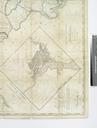
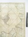
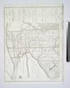
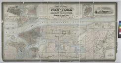
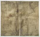
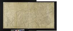
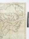
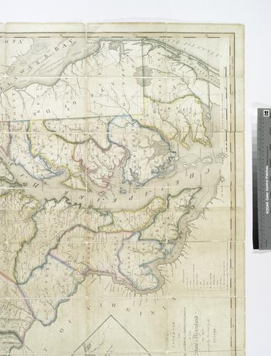
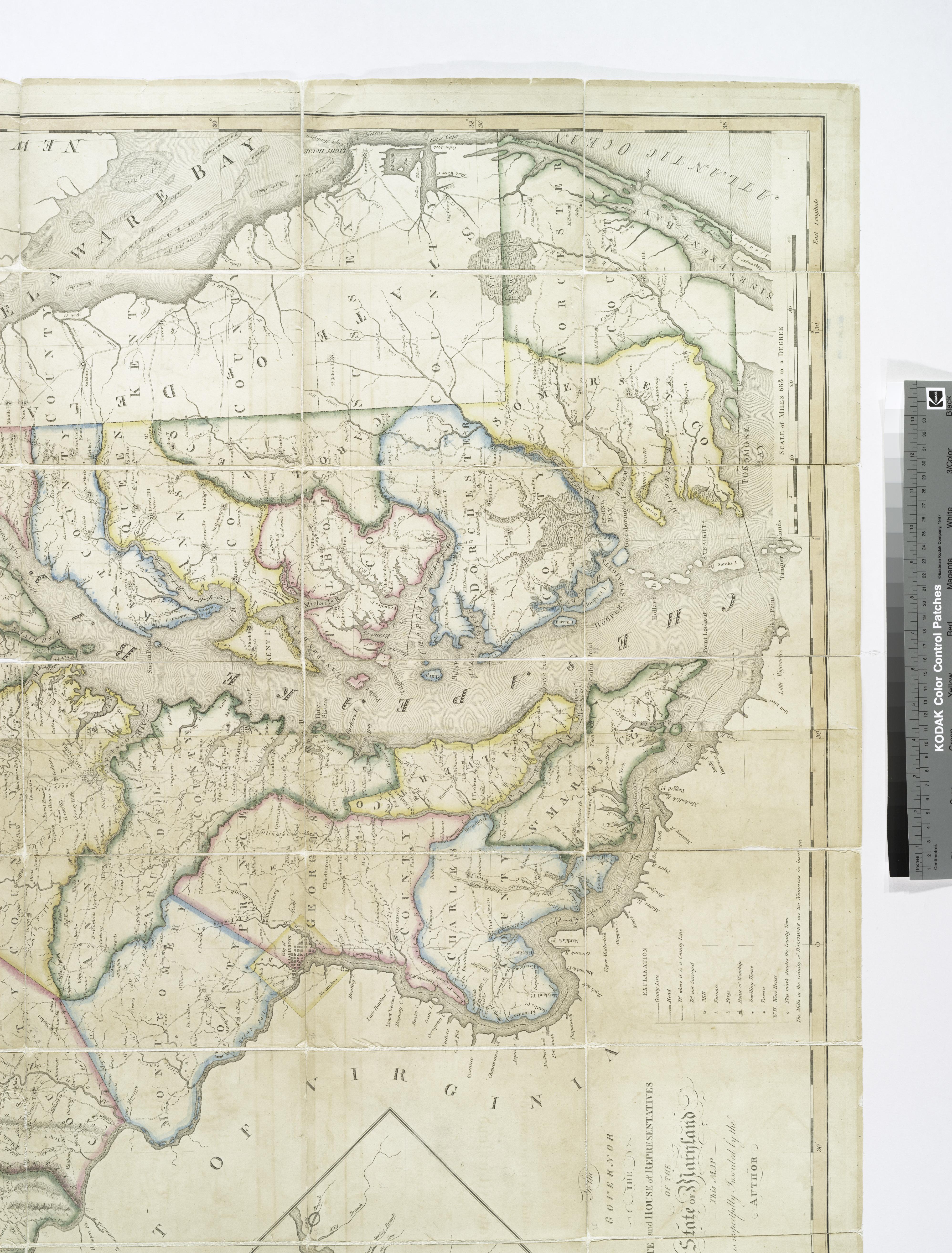
Map of the state of Maryland laid down from an actual survey of all the principal waters public roads and divisions of the counties therein describing the situation of the cities NYPL b. en Described and ill in Papenfuse's HammondHarwood House atlas of historical maps of Maryland Includes Plan of the city of Washington and Territory