Related Images


Download:
| Tiny | 79x128 | View | Download |
| Small | 158x256 | View | Download |
| Medium | 316x512 | View | Download |
| Large | 632x1024 | View | Download |
| Original png | 1024x1659 | View | Download |
| Original as jpg | 1024x1659 | View | Download |
This image was acquired from
wikimedia. It was marked as Public Domain or CC0 and is free to use. To verify, go to the source and check the information there.
Looking for more info about this image?
Try a Google Reverse Image Search for it.
Try a Google Reverse Image Search for it.
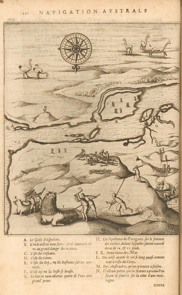
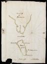
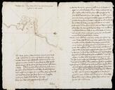
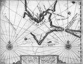
Keywords from Image Description:
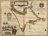
Map of the Strait of Magellan Developed by the Schouten and Le Maire Expedition WDL. Artwork ru fr Le Maire Jacob en Le Maire Jacob zh pt Le Maire Jacob ar es Le Maire Jacobo ru fr Carte du dtroit de Magellan cre au cours de l'expdition de Schouten et Le Maire en Map of the Strait of Magellan Developed