Related Images


Download:
| Tiny | 95x128 | View | Download |
| Small | 190x256 | View | Download |
| Medium | 380x512 | View | Download |
| Large | 761x1024 | View | Download |
| Original | 7380x9919 | View | Download |
This image was acquired from
wikimedia. It was marked as Public Domain or CC0 and is free to use. To verify, go to the source and check the information there.
Looking for more info about this image?
Try a Google Reverse Image Search for it.
Try a Google Reverse Image Search for it.
Keywords from Image Description:
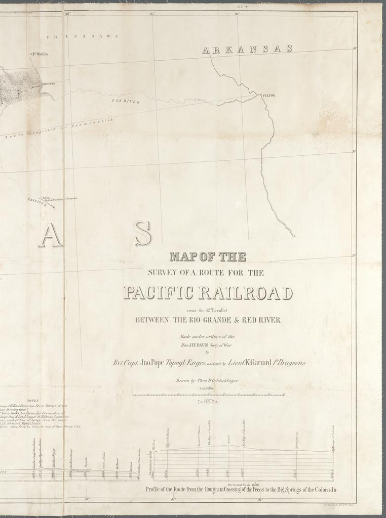
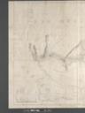
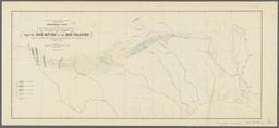
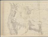
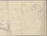
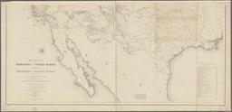
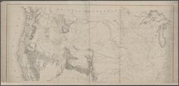
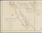
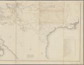
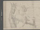
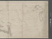
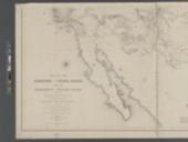
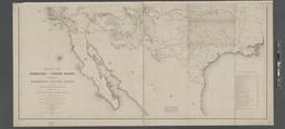
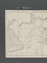
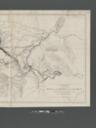
Map of the survey of route for the Pacific Railroad near the parallel between the Rio Grande Red River NYPL b. en Relief shown by hachures Mapping the Nation NEH grant nypl org Scan by NYPL Map of the survey of route for the Pacific Railroad near the parallel between the Rio Grande Red River Geology Pacific railroads Explorations