
Related Images


Download:
| Tiny | 122x128 | View | Download |
| Small | 245x256 | View | Download |
| Medium | 490x512 | View | Download |
| Large | 981x1024 | View | Download |
| Original | 2500x2607 | View | Download |
This image was acquired from
flickr. It was marked as Public Domain or CC0 and is free to use. To verify, go to the source and check the information there.
Looking for more info about this image?
Try a Google Reverse Image Search for it.
Try a Google Reverse Image Search for it.
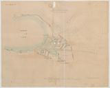
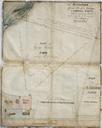
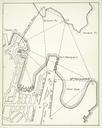
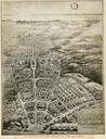
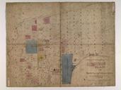
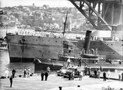
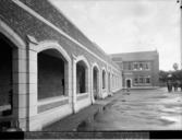
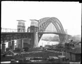
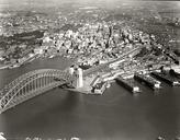
Keywords from Image Description:
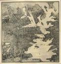
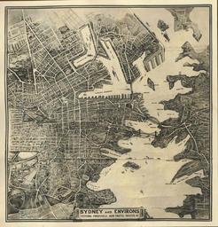
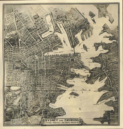
archives state records nsw staterecordsnsw newsouthwales blackandwhite sydney harbour bridge sydneyharbourbridge map plan photo border sketch drawing text monochrome black and white Map of Sydney and Environs showing proposed new traffic routes from the Sydney Harbour Bridge records Dated Digital ID aar Rights www.records.nsw.gov.au