Related Images


Download:
| Tiny | 136x128 | View | Download |
| Small | 273x256 | View | Download |
| Medium | 547x512 | View | Download |
| Large | 1095x1024 | View | Download |
| Original | 2000x1869 | View | Download |
This image was acquired from
wikimedia. It was marked as Public Domain or CC0 and is free to use. To verify, go to the source and check the information there.
Looking for more info about this image?
Try a Google Reverse Image Search for it.
Try a Google Reverse Image Search for it.
Keywords from Image Description:
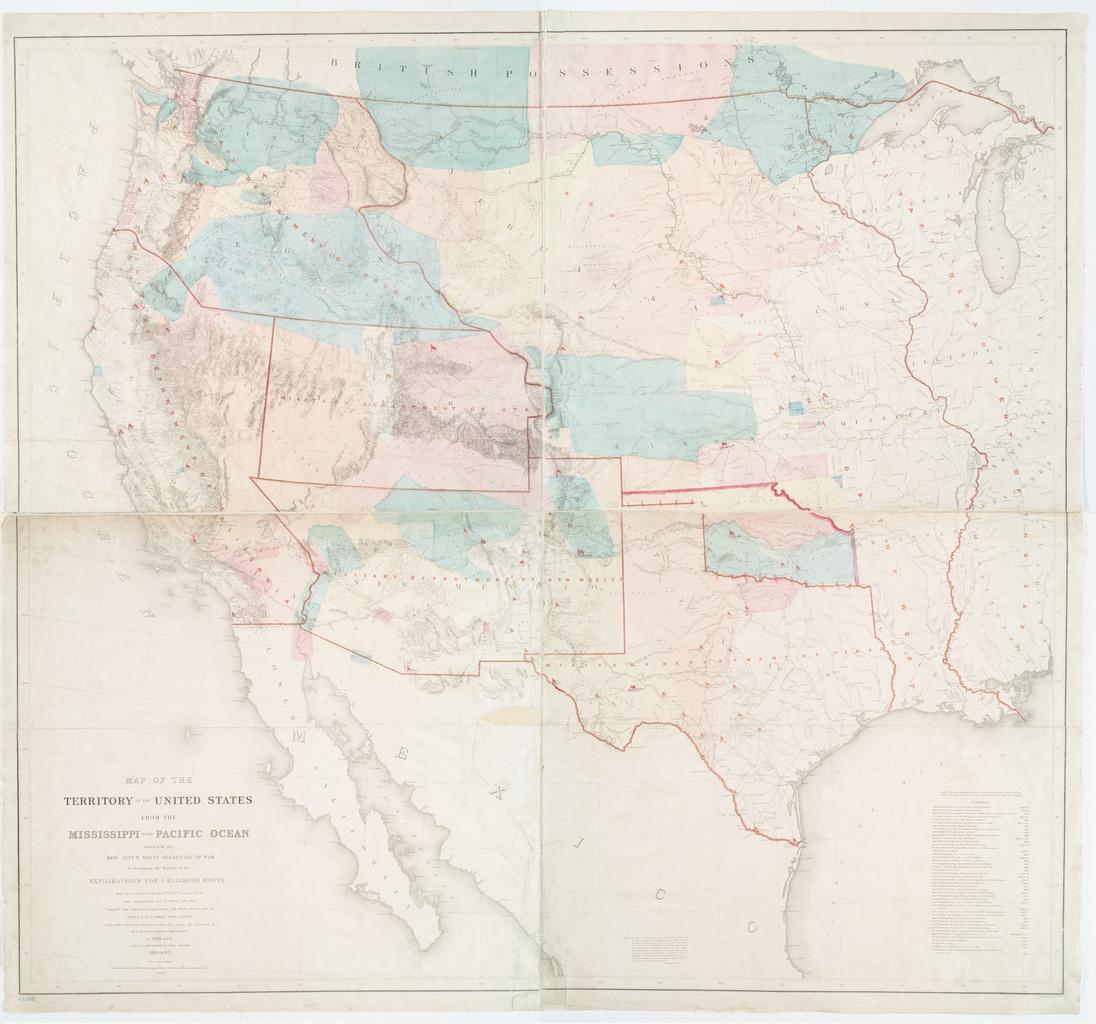
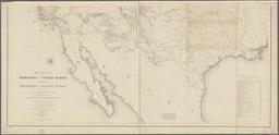
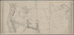
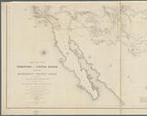
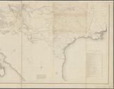
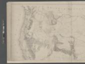
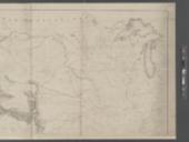
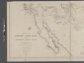
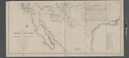
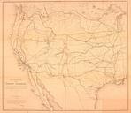
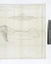
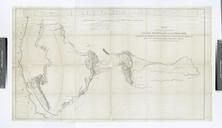
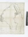
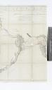
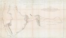
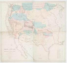
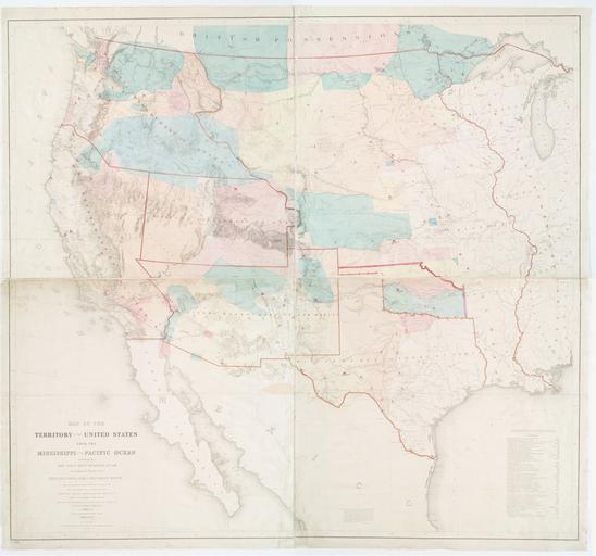
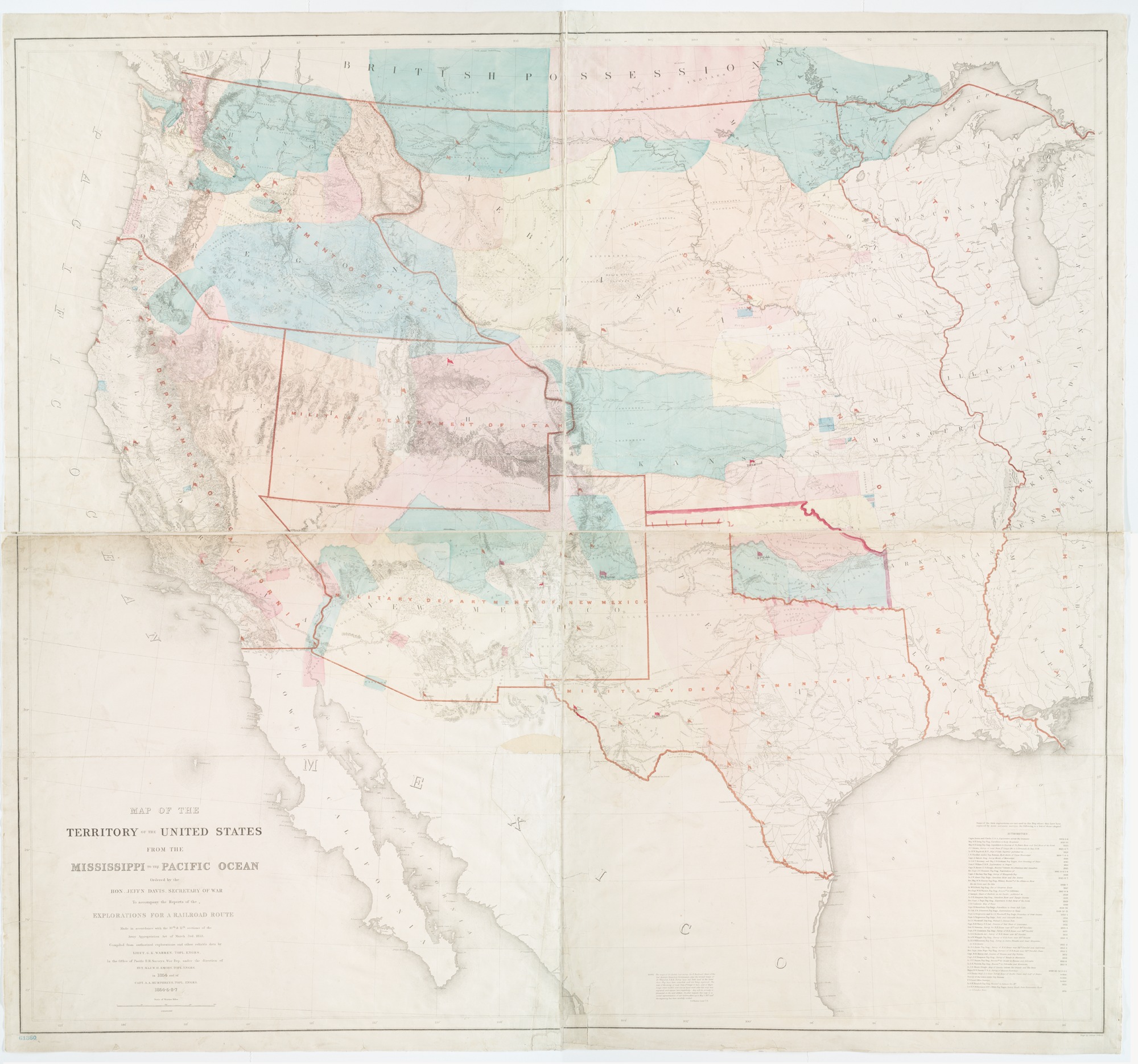
Map of the territory of the United States from the Mississippi to the Pacific Ocean ordered by the hon. Jeff'n Davis Secretary of War to accompany the reports of the explorations for NYPL b. en Relief shown by hachures and spot heights Shows Indian tribal locations military posts routes and dates of expeditions and surveys Includes