
Related Images


Download:
| Tiny | 162x128 | View | Download |
| Small | 324x256 | View | Download |
| Medium | 648x512 | View | Download |
| Large | 1296x1024 | View | Download |
| Original png | 3980x3144 | View | Download |
| Original as jpg | 3980x3144 | View | Download |
This image was acquired from
wikimedia. It was marked as Public Domain or CC0 and is free to use. To verify, go to the source and check the information there.
Looking for more info about this image?
Try a Google Reverse Image Search for it.
Try a Google Reverse Image Search for it.
Keywords from Image Description:
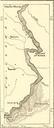
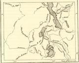
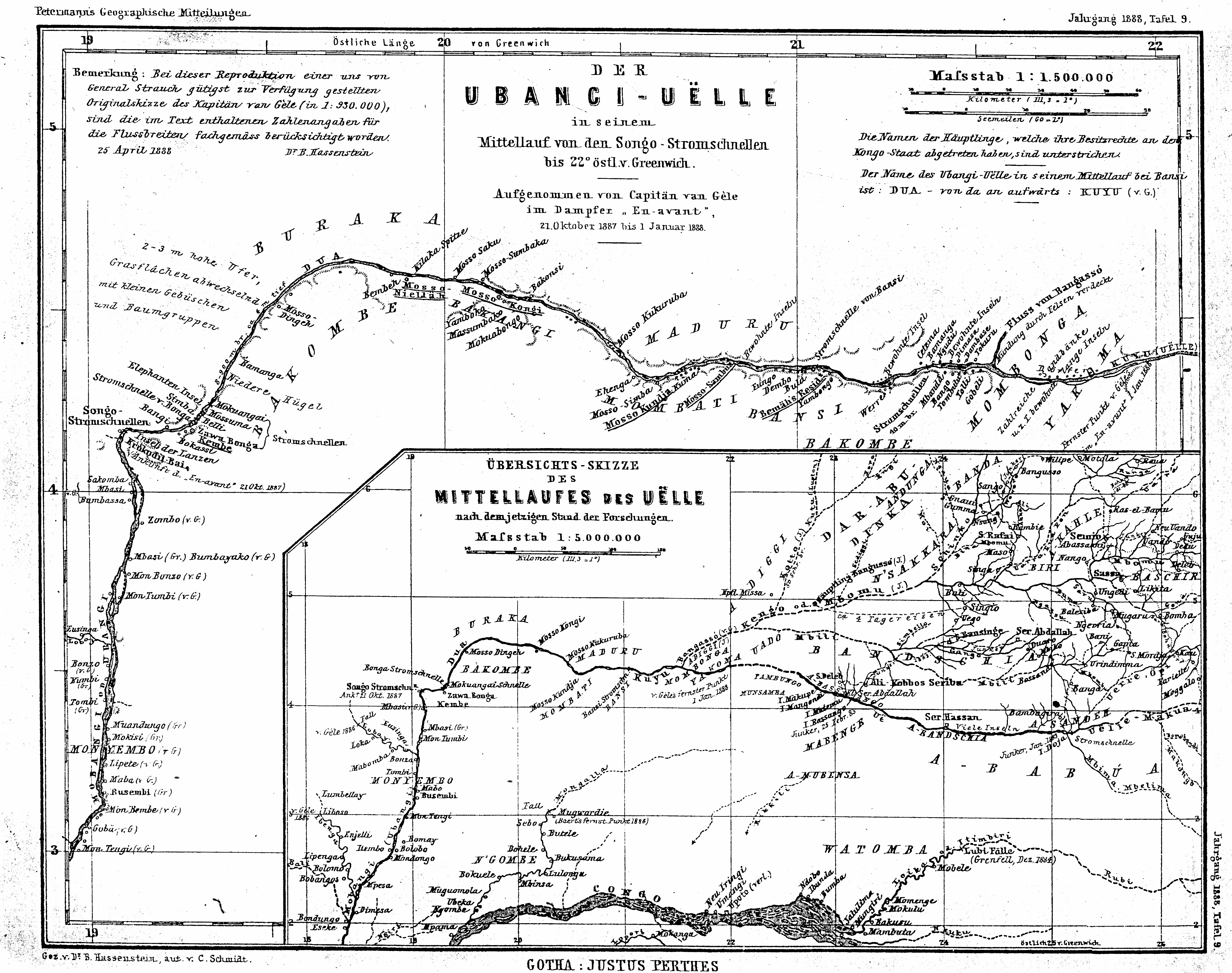
Map UbangiUelle . en The UbangiUlle river in his middle reaches from the cataracts of Songo to longitude eastwards from Greenwich recorded by Captain van Gle from the steamboat Enavant in the time between st of October and st of January Survey sketch of the middle reaches of the Ulleriver according to the then state of the researches