Related Images


Download:
| Tiny | 191x128 | View | Download |
| Small | 382x256 | View | Download |
| Medium | 765x512 | View | Download |
| Large | 1531x1024 | View | Download |
| Original tiff | 10230x6840 | View | Download |
| Original as jpg | 10230x6840 | View | Download |
This image was acquired from
wikimedia. It was marked as Public Domain or CC0 and is free to use. To verify, go to the source and check the information there.
Looking for more info about this image?
Try a Google Reverse Image Search for it.
Try a Google Reverse Image Search for it.
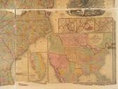
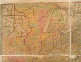
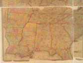
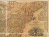
Keywords from Image Description:
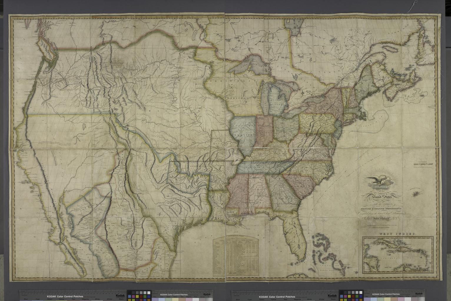
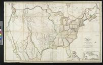
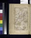
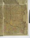
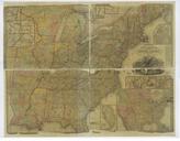
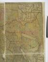
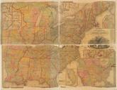
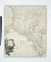
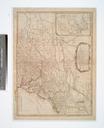
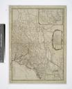
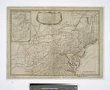
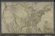
Map of the United States with the contiguous British Spanish possessions NYPL ba. en Entered according to act of Congress the th day of June Heading West Includes statistical table and inset map of the West Indies National Endowment for the Humanities Grant for Access to Early Maps of the Middle Atlantic Seaboard NYPL copy has