
Related Images


Download:
| Tiny | 128x128 | View | Download |
| Small | 256x256 | View | Download |
| Original svg | 512x512 | View | Download |
| Original as jpg | 512x512 | View | Download |
This image was acquired from
wikimedia. It was marked as Public Domain or CC0 and is free to use. To verify, go to the source and check the information there.
Looking for more info about this image?
Try a Google Reverse Image Search for it.
Try a Google Reverse Image Search for it.
Keywords from Image Description:
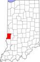
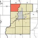
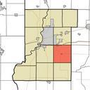
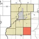
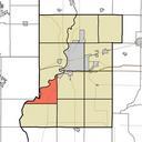
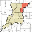
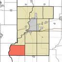
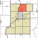
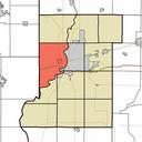
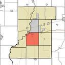
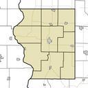
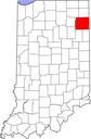
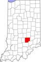
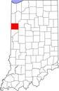
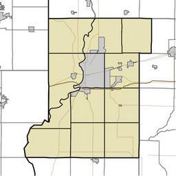
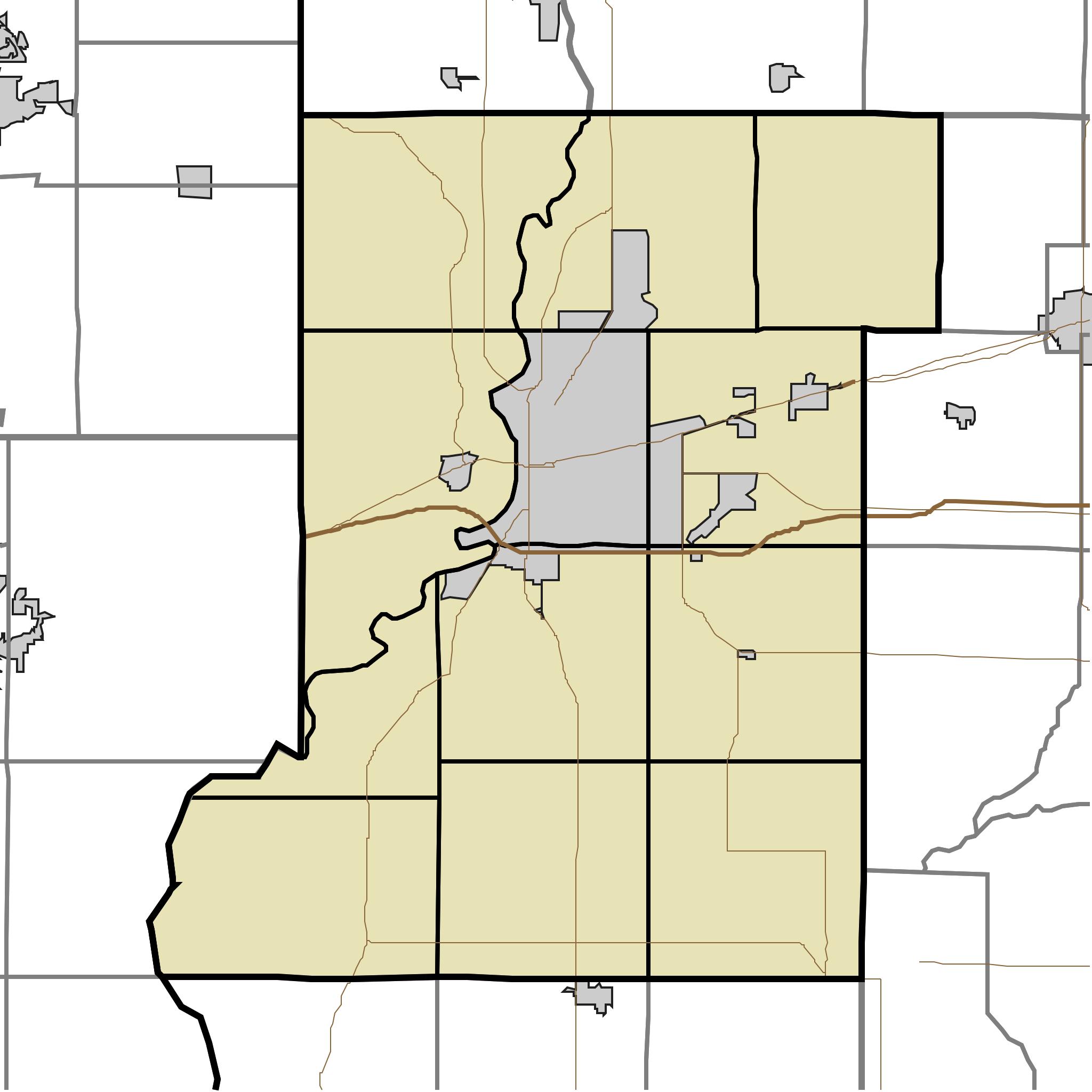
Map of Vigo County Indiana Townships.svg This is map of Vigo County Indiana USA divided into townships MaphighlightingPrairietonTownship VigoCounty Indiana svg UTC MaphighlightingPrairietonTownship VigoCounty Indiana svg Omnedon derivative work Sweet kate talk My own work using freelyavailable TIGER data and customwritten MapSc